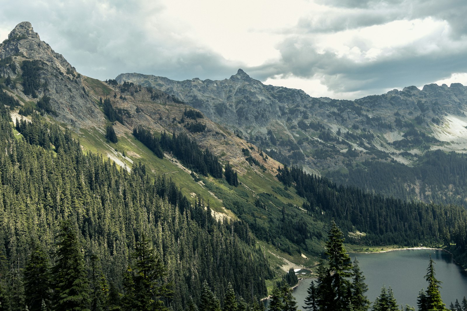
Thru-Hikes of North America: Triple Crown & Beyond
🗺 View the 14 places in this post on a map
North America invented the modern thru-hike, and it still sets the scale. Three trails here run over 2,000 miles each, and finishing all three — the Appalachian Trail, the Pacific Crest Trail, and the Continental Divide Trail — earns the Triple Crown of Hiking. But the continent's best walking isn't only for people with six free months. Two- and three-week classics like the John Muir Trail and the Wonderland Trail pack the same granite, glaciers, and wildflower basins into a single vacation, and Canada adds two routes that feel wilder than anything south of the border.
This guide covers all ten routes from our Thru-Hikes of the World overview, with a schematic map of each so you can see exactly where they go. Distances are approximate; difficulty assumes a fit hiker carrying a multi-day pack.
- 1Appalachian Trail
- 2Pacific Crest Trail
- 3Continental Divide Trail
- 4John Muir Trail
- 5Colorado Trail
- 6Long Trail
- 7Arizona Trail
- 8Wonderland Trail
- 9Great Divide Trail
- 10West Coast Trail
Appalachian Trail (AT) — Georgia to Maine, ~2,197 miles, 5–7 months, strenuous. The original American thru-hike follows the spine of the Appalachians through 14 states: green tunnels of hardwood forest, the rocky ridges of Pennsylvania, the White Mountains of New Hampshire, and a finish on the summit of Katahdin. No single day is extreme, but the cumulative climbing — roughly Everest 16 times over — and the sheer duration make it serious. Its shelter system, frequent town stops, and legendary trail culture (trail names, trail magic, hostels) make it the most social and forgiving of the three. Most northbounders start in March or April. A local tip: stop at Mountain Crossings at Neels Gap, the outfitter the trail literally passes through at mile 31, where staff do free pack shakedowns that have saved thousands of first-week hikers from carrying ten pounds too many.
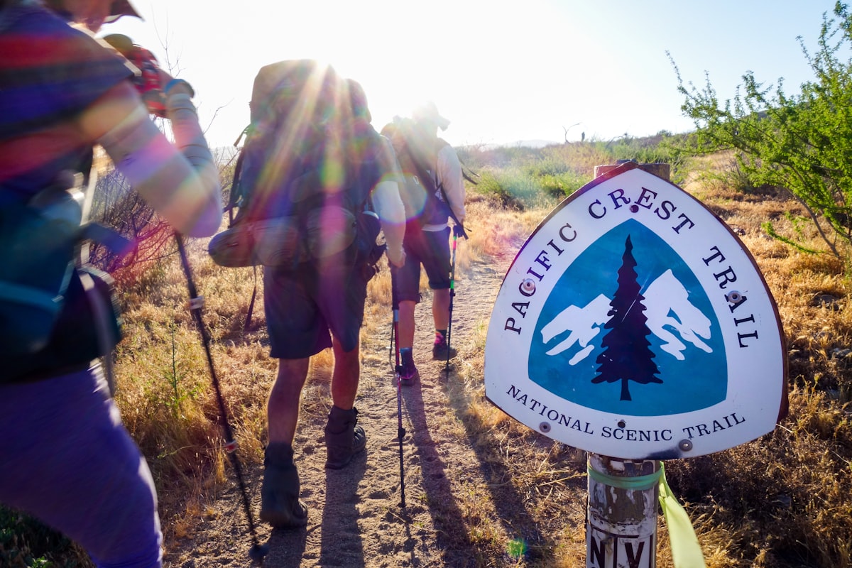
Pacific Crest Trail (PCT) — Mexico to Canada through California, Oregon, and Washington, ~2,650 miles, 4–6 months, strenuous. The PCT runs the length of the American West: Mojave Desert, High Sierra, the volcanic Cascades, and Washington's alpine wilderness. It's graded for pack stock, so the walking is gentler than the AT, but the challenges are bigger-picture — long desert water carries, Sierra snowpack and river fords in early season, and a race against autumn snow in the North Cascades. Widely considered the most scenic of the three. In the tiny town of Stehekin, reachable only by boat, foot, or floatplane, the Stehekin Pastry Company is the single most talked-about bakery on any trail in America; hikers plan their last Washington days around it.
Continental Divide Trail (CDT) — New Mexico to Montana, ~3,100 miles, 5–7 months, expert. The wildest and least developed of the Triple Crown, following the hydrological divide through New Mexico's deserts, Colorado's San Juans (sustained travel above 12,000 feet), Wyoming's Wind River Range and Yellowstone, and Glacier National Park. Portions are unmarked or exist only as alternates, so navigation is mandatory; the unofficial motto is "embrace the brutality." In Pie Town, New Mexico (population roughly 180), the Toaster House — a donation-based hostel with a fence of toasters out front — is one of the trail's great institutions, and the town's two pie cafés live up to the name.
John Muir Trail (JMT) — Yosemite Valley to Mount Whitney, ~211 miles, 2–3 weeks, challenging to strenuous. Often called America's most beautiful trail, the JMT stays almost entirely above 8,000 feet through Yosemite, Kings Canyon, and Sequoia, crossing six passes above 11,000 feet before finishing on 14,505-foot Whitney. Granite cirques, alpine lakes, and reliable summer weather; the hard part is winning a permit. Muir Trail Ranch, at the midpoint, is the classic resupply and has a natural hot spring across the river.
- 1John Muir Trail
- 2Colorado Trail
- 3Arizona Trail
Colorado Trail — Denver to Durango, ~486 miles, 4–6 weeks, challenging to strenuous. A high-altitude traverse averaging above 10,000 feet and topping out at 13,271, sharing tread with the CDT through the Collegiate Peaks and San Juans. Wildflower basins, afternoon-thunderstorm strategy, and mountain towns — Breckenridge, Salida, Silverton — for resupply. It's the best condensed version of a Triple Crown experience.
Long Trail — Vermont, Massachusetts line to Canada, ~272 miles, 3–4 weeks, challenging to strenuous. The oldest long-distance trail in the US (finished in 1930) and the inspiration for the AT, which shares its southern 100 miles. The northern half over Camel's Hump and Mount Mansfield is steep, rooty, and famously muddy — "Vermud."
Arizona Trail (AZT) — Mexico to Utah, ~800 miles, 6–8 weeks, challenging to strenuous. A south-to-north crossing of saguaro desert, sky-island ranges, the Mogollon Rim's pines, and a rim-to-rim of the Grand Canyon near the finish. Water logistics and spring or fall timing windows are the main challenges.
Wonderland Trail — Mount Rainier National Park, Washington, ~93-mile loop, 8–12 days, challenging to strenuous. A full circuit of Rainier with about 22,000 feet of gain, endlessly rolling between old-growth river valleys and subalpine meadows with the volcano always in view. Late July to August is peak wildflower season and peak permit competition.
Great Divide Trail (GDT) — Canadian Rockies, Alberta and British Columbia, ~700 miles, 6–8 weeks, expert. The rugged northern continuation of the CDT through Banff, Jasper, and remote wilderness beyond: river fords, faint or nonexistent tread, grizzly country, and some of the most dramatic mountain scenery on the continent. For experienced wilderness travelers only.
West Coast Trail — Vancouver Island, British Columbia, ~47 miles, 5–7 days, challenging to strenuous. Short but famously demanding: ladders, cable cars, tidal-shelf walking, deep mud, and relentless rain on a route first built to rescue shipwreck survivors. Permits go by lottery and tide tables are required reading. Most hikers time the crossing at Nitinat Narrows for the crab and salmon cooked at the ferry dock — it is the only hot meal on the trail.
Planning notes. Northbound AT and PCT hikers start in March and April; CDT and Colorado Trail hikers wait for June snowmelt; the JMT, Wonderland, and West Coast Trail run on permit lotteries that open in winter. Canada's two routes are best from mid-July to early September.
← Back to the overview: Thru-Hikes of the World. See also our guides to the easiest Colorado 14ers and Glacier National Park, both on or beside the CDT.
- 1Great Divide Trail
- 2West Coast Trail