The Easiest US State Highpoints You Can Drive or Walk Up
🗺 View the 25 places in this post on a map
Highpointing means standing on the highest natural point in each of the 50 states, and it is a much friendlier hobby than it sounds. Denali, Rainier, and Mount Whitney grab the headlines, but about a third of the list can be reached by car or on a walk shorter than a trip around the mall. Some are spectacular mountaintops with paved roads to the summit. Others are a sign beside a cul-de-sac or a cairn in a cornfield, and those turn out to be half the fun. Below are 18 beginner-friendly highpoints grouped by region, so you can collect several on one road trip. Tick them off as you go on our US state highpoints map, and when you want something with more climbing, our guide to the easiest Colorado 14ers covers Mount Elbert, Colorado's own highpoint. The Highpointers Club keeps the most current notes on landowner rules and access changes, and it is worth checking before any trip, since several of these summits sit on private land.
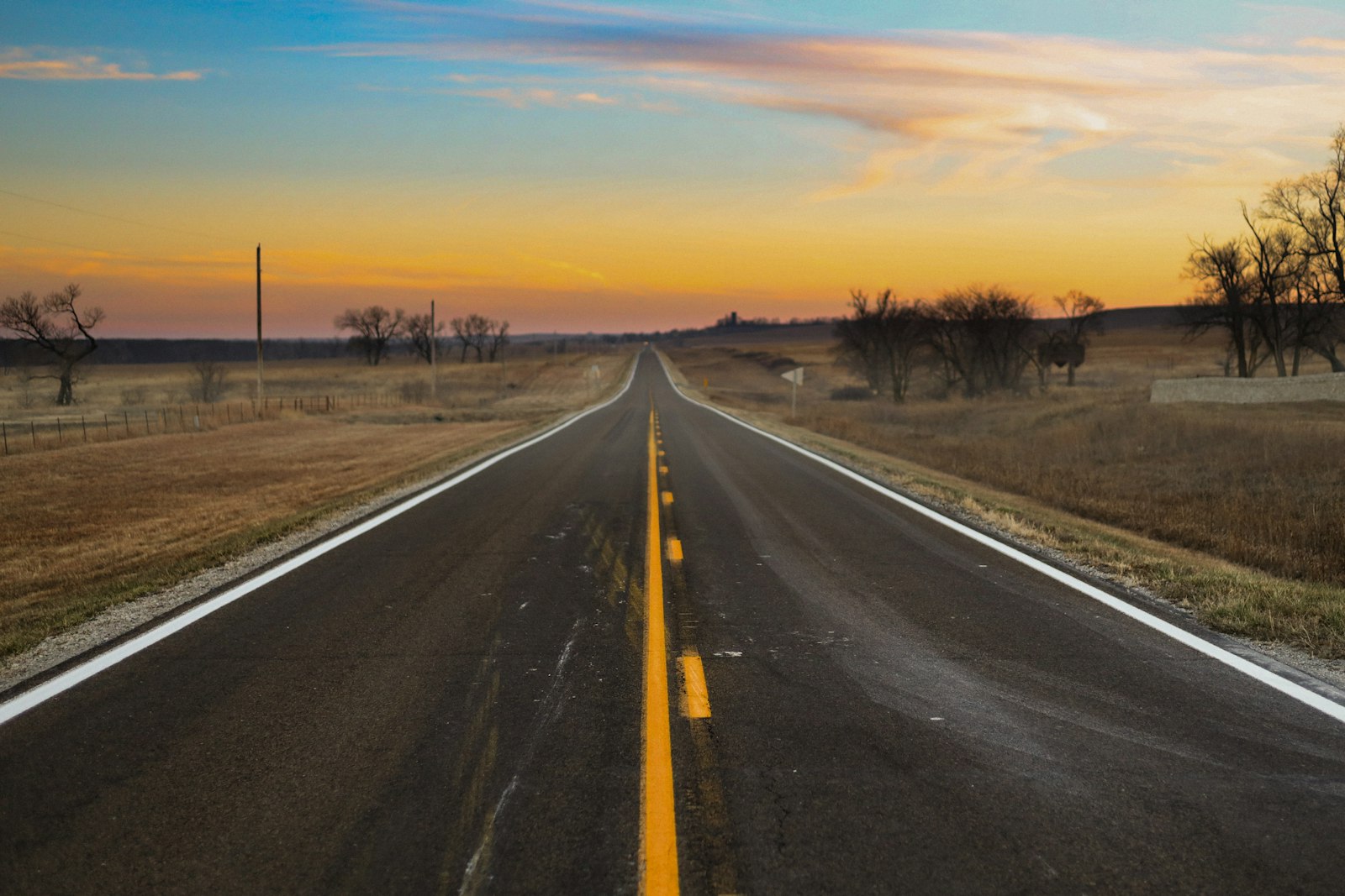
The Great Plains pair: Mount Sunflower and Panorama Point. Kansas's 4,039-foot Mount Sunflower sits on a working ranch near the Colorado line, and the Harold family welcomes visitors. Expect miles of county gravel, a cattle guard, and cows with the right of way. At the top you'll find a sunflower sculpture welded from railroad spikes, a picnic table, a little free library, and a mailbox holding the summit register. Fuel up in Goodland, an hour north on I-70, where the Big Easel holds a 24-by-32-foot copy of a Van Gogh sunflower painting on an 80-foot steel easel. It's the best roadside photo stop in western Kansas. About three and a half hours northwest, Nebraska's Panorama Point (5,429 ft) sits on the High Point Bison Ranch, where you drop a few dollars in the honor box at the gate. Bison graze around the monument, so stay in or near the car and give them plenty of room. The nearby Three-State Marker, where Nebraska, Colorado, and Wyoming meet, makes a nice second stop.
The Midwest flatlands: Hawkeye Point, Hoosier Hill, and Campbell Hill. Iowa's Hawkeye Point (1,670 ft) is a farmstead north of Sibley that Osceola County turned into a free, year-round stop. You can climb an observation deck on an old silo, browse farm machinery displays, and see the neighboring silo the county painted as a giant ear of corn, dedicated this summer as the tallest ear of corn in Iowa. Hoosier Hill (1,257 ft), east of Indianapolis near Richmond, is a small wooded rise on private land. An Eagle Scout project added a gravel pull-off, a cairn, and a register box. The gravel pull-off is easy to miss, so watch for the small roadside sign. Ohio's Campbell Hill (1,550 ft) sits on the grounds of the Hi-Point Career Center in Bellefontaine. The campus is open to visitors on weekdays, but call ahead about weekend access, because the gate closes after hours.
The South: short walks with real history. Florida's Britton Hill is the lowest state highpoint at 345 feet: a monument in Lakewood Park beside the parking lot, with short nature trails if you want to stretch your legs. Mississippi's Woodall Mountain (806 ft), just south of Iuka, has a steep gravel road to a summit bench and register, and the hill saw fighting during the 1862 Battle of Iuka. Louisiana's Driskill Mountain (535 ft) is a pleasant two-mile round-trip walk on old logging roads that starts behind the cemetery at Mount Zion Presbyterian Church. In Arkansas, Mount Magazine State Park puts the 2,753-foot summit at the end of the gentle Signal Hill Trail, where a stone map of Arkansas is set into the ground. The summit itself is wooded, so stay for dinner at the Skycrest Restaurant in the Lodge at Mount Magazine, where the windows look out over the Petit Jean River valley from the edge of the bluff. That view is better than anything on Signal Hill.
Taum Sauk Mountain (1,772 ft) in the Missouri Ozarks is reached on a short, paved, wheelchair-accessible path. Don't stop at the marker, though. Keep going on the rugged 2.9-mile loop to Mina Sauk Falls, at 132 feet the tallest waterfall in Missouri, which flows best after rain. Then do what locals do on hot afternoons and drive 20 minutes west to Johnson's Shut-Ins State Park, where the Black River pours through chutes and pools carved into volcanic rock. It's the best natural swimming hole in the state.
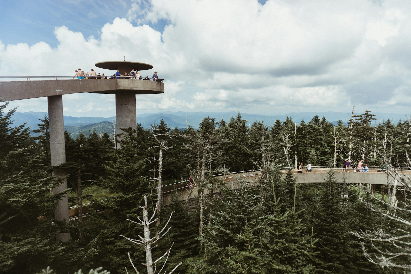
The Southern Appalachians: drive-ups with the best views. Mount Mitchell State Park (6,684 ft) is the highest point east of the Mississippi, and a short paved trail leads from the parking lot to the summit platform. The park reopened in September 2025 after Hurricane Helene, but the Blue Ridge Parkway north of it toward Little Switzerland is still under repair until late 2026, so approach from Asheville. That route passes Craggy Gardens, where the short Craggy Pinnacle Trail climbs through rhododendron tunnels to a rocky knob. Locals prefer it to the crowded summit. In the Smokies, Kuwohi (6,643 ft, formerly Clingmans Dome) is Tennessee's highpoint: a steep paved mile round trip to a flying-saucer observation tower. Kuwohi Road closes in winter, the lot overflows on summer weekends, and every parked car in the park needs a parking tag. Go early. Georgia's Brasstown Bald (4,784 ft) has a Forest Service visitor center, a steep 0.6-mile paved trail, and a shuttle included in the $8 entry fee.
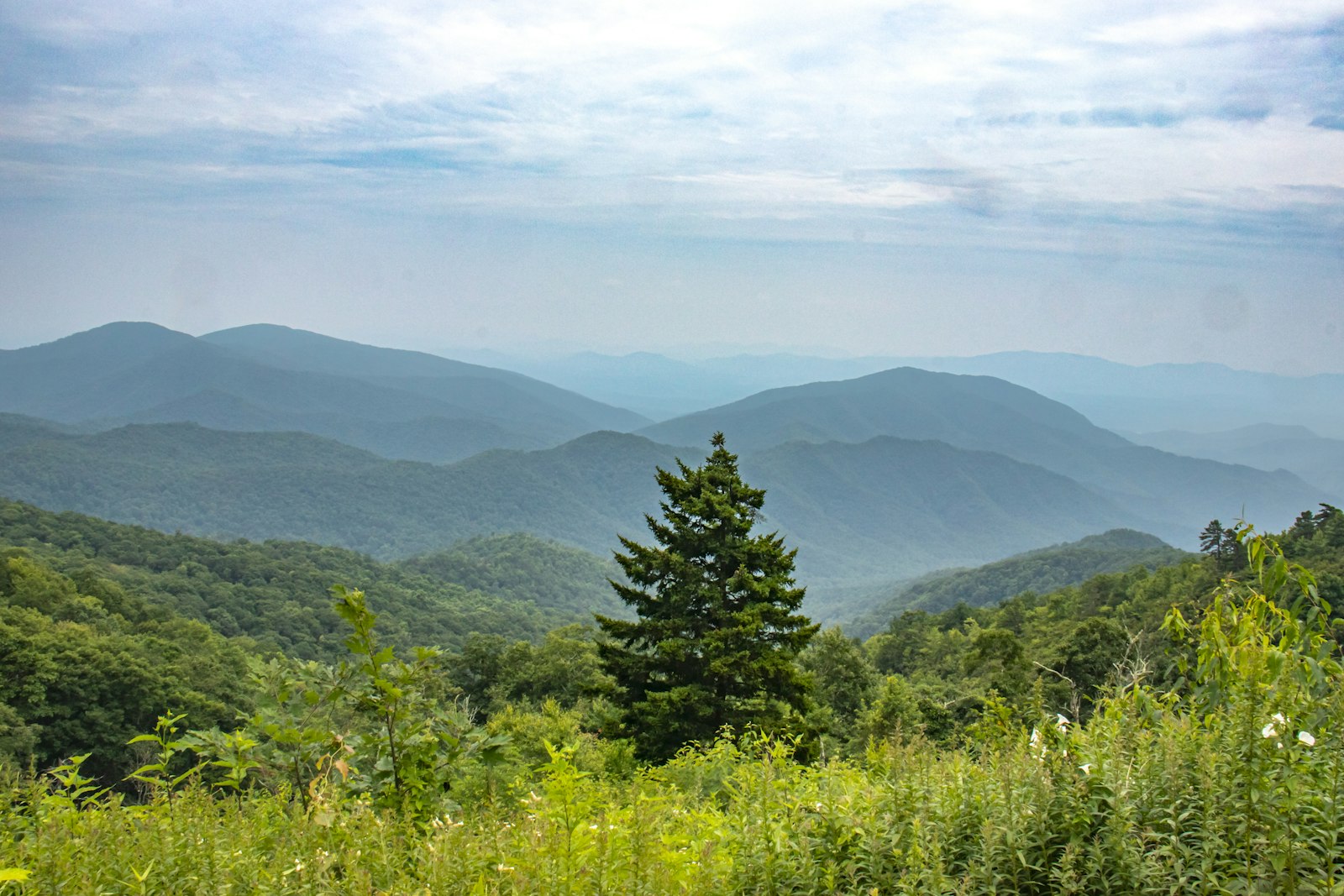
Spruce Knob (4,863 ft), West Virginia's highpoint, sits at the end of a long gravel forest road in the Monongahela National Forest. A stone observation tower stands near the parking area, and the half-mile Whispering Spruce Trail loops the windswept summit, where the trees grow branches on only one side. Start at the Seneca Rocks Discovery Center for road conditions, then eat at the Front Porch Restaurant upstairs from Harper's Old Country Store. Its porch looks straight at the fin of Seneca Rocks, and it's closed in winter.
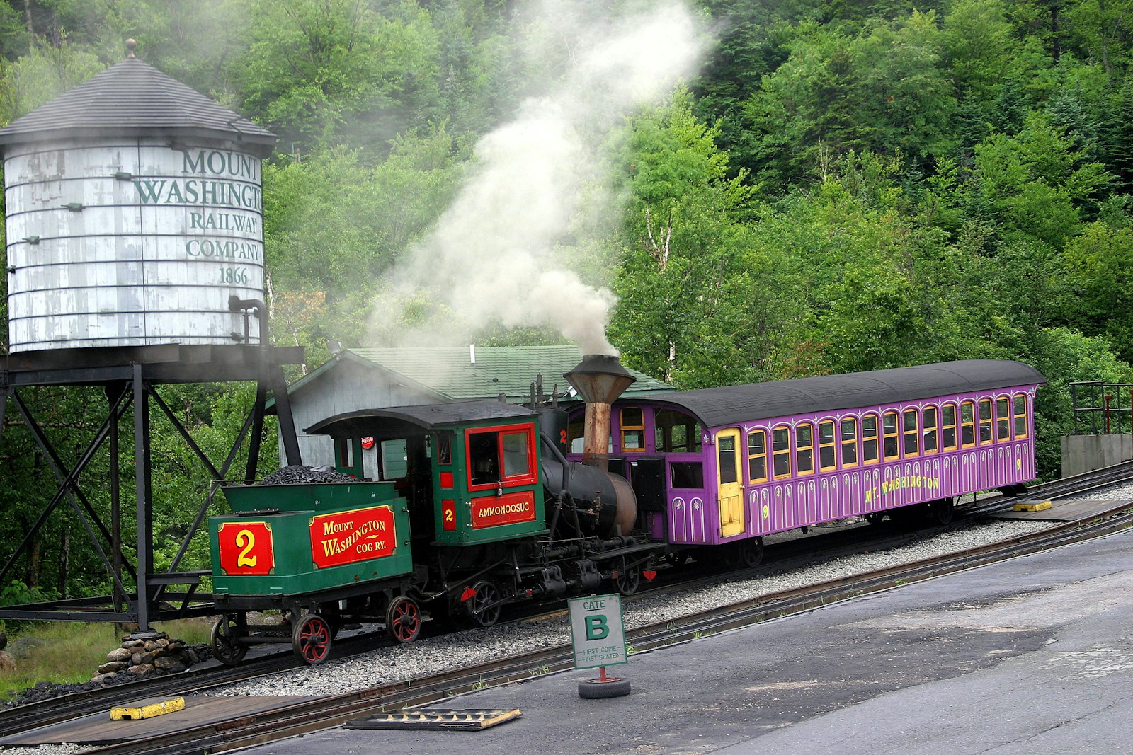
Mount Washington: the big one you can still drive. New Hampshire's 6,288-foot summit has some of the worst weather on Earth, and two classic ways up. The Mt. Washington Auto Road climbs 7.6 miles from Pinkham Notch with no guardrails on much of it. Drive it in low gear and you've earned the famous "This Car Climbed Mt. Washington" bumper sticker. Or ride the Mount Washington Cog Railway, running since 1869 up the steep western slope. Check the summit forecast the morning you go. Fog, gale-force wind, and July sleet are normal, and the road closes when conditions turn.
The Northeast quick hits. Delaware's Ebright Azimuth (448 ft) is a blue-and-gold roadside sign on Ebright Road north of Wilmington, a few hundred feet from the Pennsylvania line. Rhode Island's Jerimoth Hill (812 ft) is a short wooded walk off Route 101 near the Connecticut border. New Jersey's High Point State Park (1,803 ft) tops its summit with a 220-foot obelisk, and from there you can see across three states to the Catskills and the Poconos. The three make an easy long weekend out of Philadelphia or New York, especially if you add Mount Washington and turn it into a fall-foliage loop.
A few habits keep highpointing friendly. Sign the registers, because landowners use the counts to decide whether to keep allowing visitors. Leave gates as you found them. Check seasons before you drive: Kuwohi Road, the Mount Washington Auto Road, and Spruce Knob's gravel road all close or go unplowed in winter. And pace yourself. Most first-timers bag five or six of these on a single regional trip, open the map, and realize they're suddenly a fifth of the way to fifty.

About the author
Kristian Ranstrom
I built Get Busy Exploring because I kept losing track of where I'd been. I chase lists — fourteeners, highpoints, Munros — and I'm just as happy getting lost in a city on foot. I write up the trips here: routes, itineraries, and what I'd do differently.