Irish Counties
Click a county to mark it visited — click again for “want to go.” The 26 counties of the Republic of Ireland; the six counties of Northern Ireland are on the UK counties map.
The thirty-two — well, twenty-six
Ireland's counties are older than the country. They were laid out between the 12th and 17th centuries, survived partition intact, and still organize everything from hurling to the weather forecast. This map covers the 26 counties of the Republic; the six of Northern Ireland — Antrim, Armagh, Down, Fermanagh, Londonderry, and Tyrone — are on the UK counties map, so between the two you can tick all thirty-two.
Visitors usually land in Dublin and head for Kerry and Clare — the Ring of Kerry, Dingle, the Cliffs of Moher — then Galway for Connemara and the Aran Islands. That's four or five counties. The Wild Atlantic Way adds Donegal, Sligo, Mayo, and Cork along the coast. The midlands are where the list slows down: Longford, Westmeath, Offaly, Laois, and Roscommon are the ones that stay gray on most people's maps, and they're worth the detour for Clonmacnoise, the Slieve Blooms, and the sheer quiet of it.
How the map is drawn
Boundaries are from Tailte Éireann, Ireland's national mapping agency, so they're the statutory county lines rather than an approximation. Dublin is shown as one county, even though it's four administrative areas now, and Tipperary is whole again after decades as North and South Ridings. Click once for visited, again for want-to-go. If you're collecting summits too, every county's highest point is on the Irish county highpoints map.
Provinces and the GAA
Ireland's four provinces — Leinster, Munster, Connacht, and Ulster — are older than the counties and still matter, most visibly in sport: the GAA's inter-county championships are the reason every Irish person knows their county colors, and a summer Sunday in Killarney, Thurles, or Clones with a county match on is as good a reason to tick a county as any. The county names on this map are the English ones; the Irish versions are on every road sign, and Tailte Éireann's boundary data carries both. If you're counting the whole island, the six Ulster counties in Northern Ireland complete the 32 over on the UK map.
Recent from the blog
 Rail Biking in the US: Every Place You Can Pedal the TracksSeptember 8, 2026
 American Samoa: Visiting the Most Remote US National ParkSeptember 7, 2026
 Zion National Park: Angels Landing, the Narrows & BeyondSeptember 5, 2026
 Florida Keys Guide: Key West and the Islands In BetweenSeptember 1, 2026
 Svalbard: A First-Timer's Guide to Longyearbyen at 78°NAugust 31, 2026
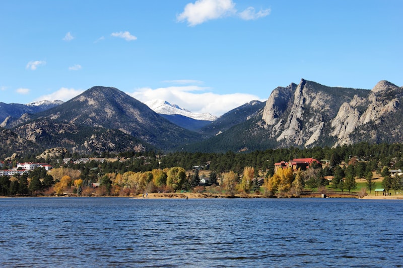 Estes Park Beyond the Park: Things to Do Outside RMNPAugust 29, 2026
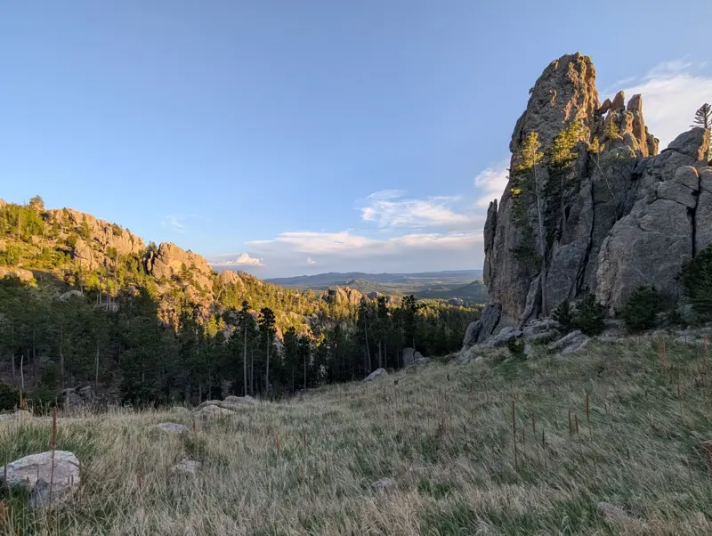 Black Hills, South Dakota: The Complete Visitor's GuideAugust 26, 2026
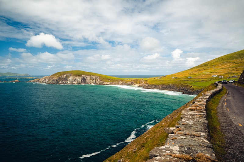 Hiking the Dingle Way: 8-Day Plan, Gear & What to ExpectAugust 24, 2026All posts - there's a whole lot more to explore →