Thru-Hikes of Oceania: New Zealand & Australia's Best
🗺 View the 17 places in this post on a map
Oceania is where the hut-and-boardwalk tradition reaches its peak. New Zealand's Great Walks and Tasmania's World Heritage tracks are so well built and so carefully limited that a booking, not fitness, is usually the hardest part. Then there is the other Australia — desert ridges out of Alice Springs and 1,000-kilometer forest and outback trails that almost nobody outside the country has heard of — and Te Araroa, a 3,000-kilometer thru-hike the length of both New Zealand islands that has become one of the world's great long walks in barely a decade.
Here are the nine routes from our Thru-Hikes of the World overview. Seasons are southern: New Zealand and Tasmania walk from October to April, while the Larapinta, Heysen, and Bibbulmun are winter and shoulder-season trails.
- 1Te Araroa
- 2Milford Track
- 3Routeburn Track
- 4Overland Track
- 5South Coast Track
- 6Three Capes Track
- 7Larapinta Trail
- 8Heysen Trail
- 9Bibbulmun Track
Te Araroa — Cape Reinga to Bluff, New Zealand, ~1,860 miles, 4–6 months, strenuous to expert. New Zealand's "Long Pathway" runs the length of both islands: Ninety Mile Beach, the Tongariro volcanic crossing, and the alpine passes, river fords, and mud of the South Island backcountry. Younger and rougher than the American Triple Crown trails, usually walked southbound from October or November. The South Island half, from Ship Cove to Bluff, is the more common section hike.
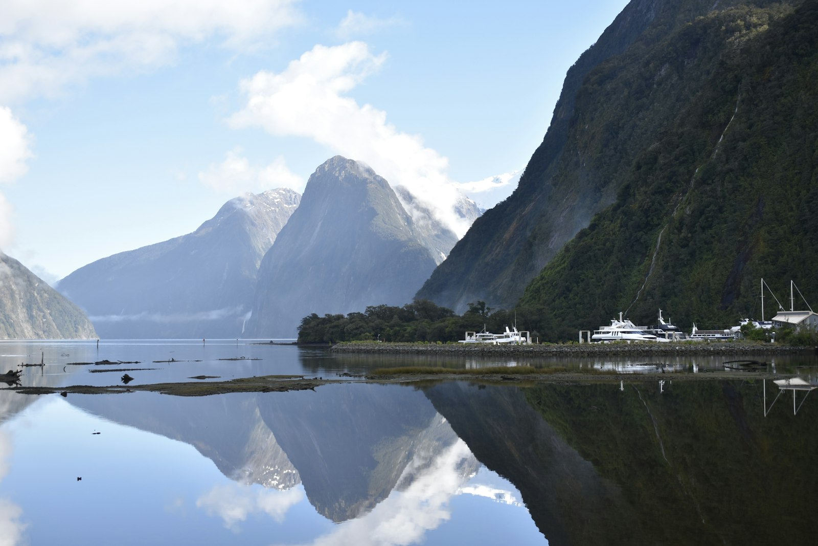
Milford Track — Fiordland National Park, ~33 miles, 4 days, moderate. "The finest walk in the world," as it was billed in 1908: glacier-carved valleys, rainforest, Mackinnon Pass, 580-meter Sutherland Falls, and a finish at Milford Sound. Walked one direction only, with hut places that sell out within minutes of bookings opening each winter. In Te Anau, see the 32-minute Ata Whenua – Shadowland film at the tiny Fiordland Cinema the night before; it's the best aerial view of the country you're about to walk into.
Routeburn Track — Fiordland and Mount Aspiring national parks, ~20 miles, 2–4 days, moderate. A short alpine crossing between Glenorchy and the Divide that spends more time above the bushline than any other Great Walk; the Harris Saddle and Conical Hill viewpoint deliver huge Fiordland panoramas for modest effort. Walk it in either direction.
- 1Milford Track
- 2Routeburn Track
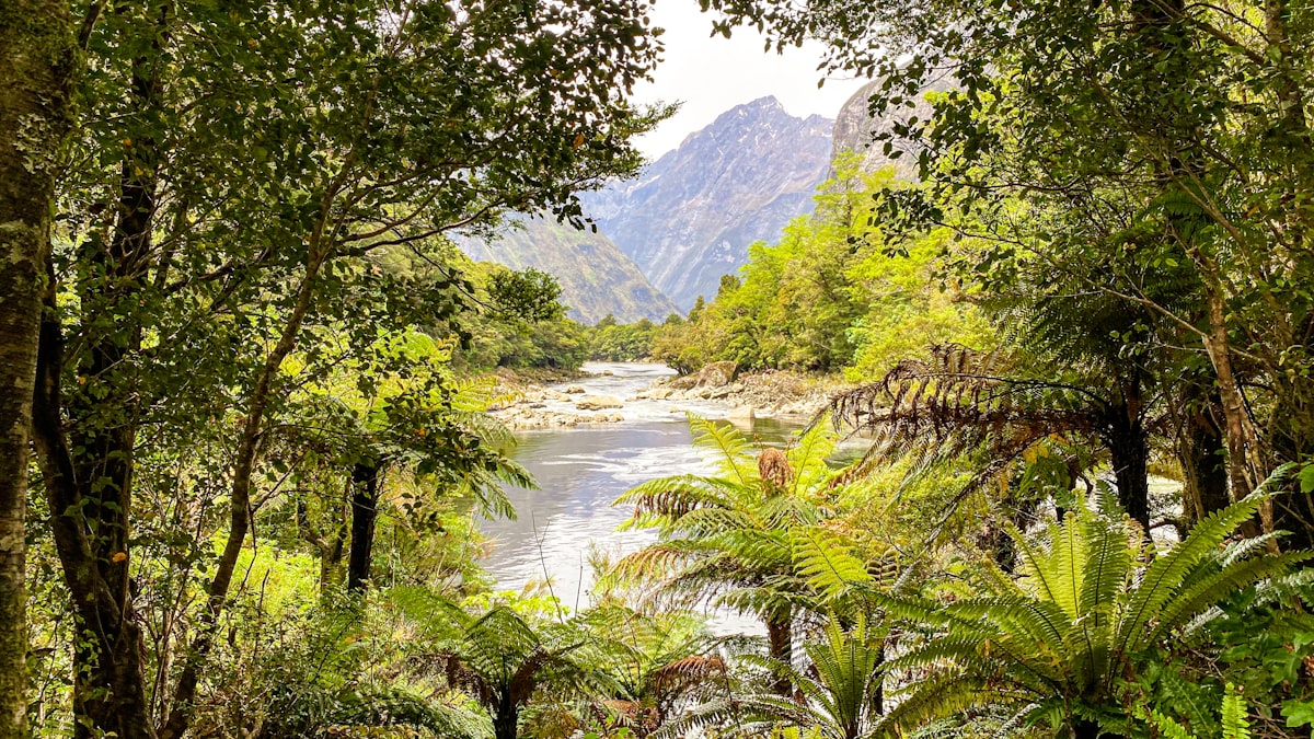
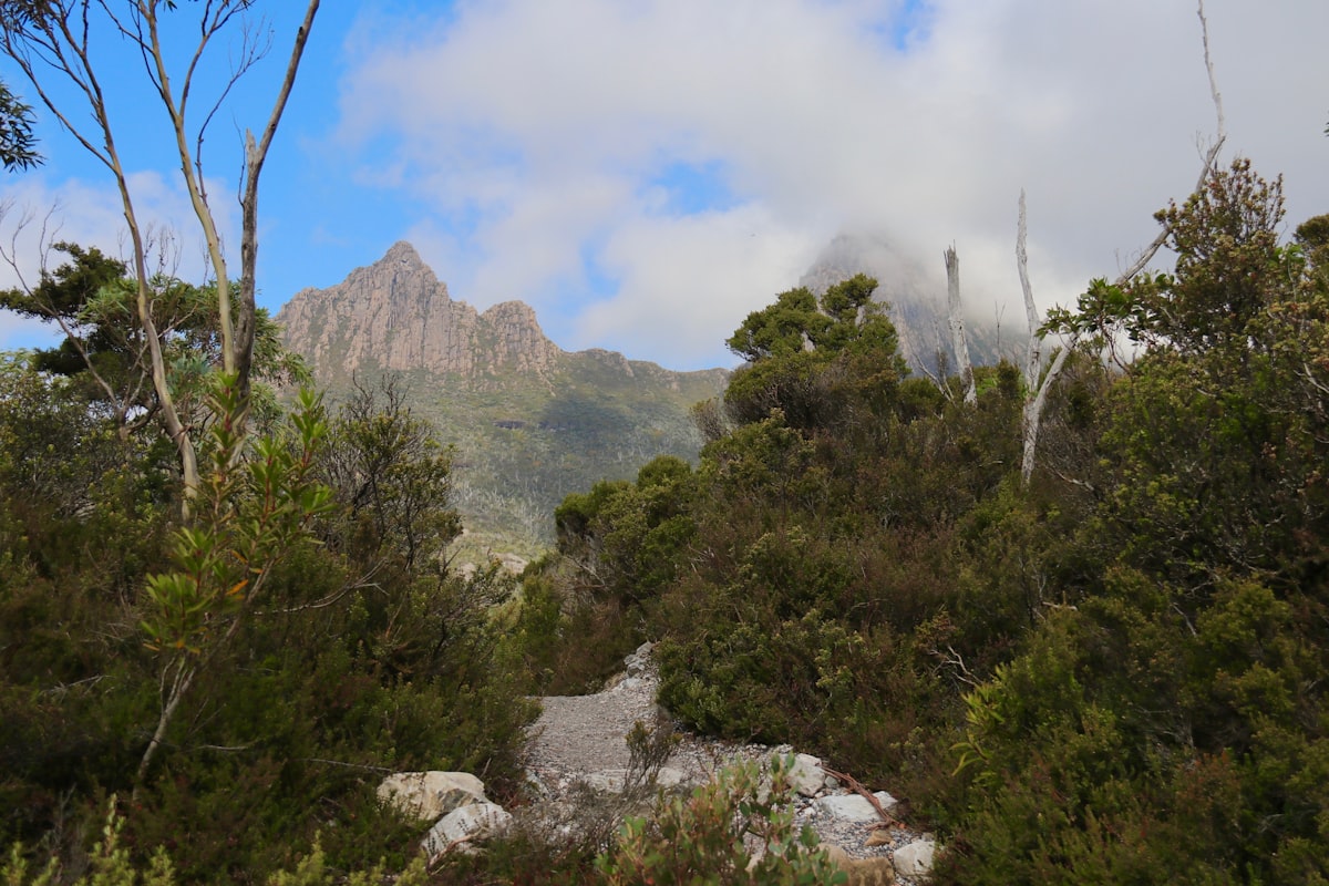
Overland Track — Cradle Mountain to Lake St Clair, Tasmania, ~40 miles, 5–7 days, moderate to challenging. Tasmania's premier wilderness walk through dolerite peaks, buttongrass moorland, rainforest, and waterfalls, with optional side scrambles up Cradle Mountain or Mount Ossa, the island's highest. Hut-and-platform system, booked and walked north to south from October to May. Skip the road walk at the end and take the Lake St Clair ferry from Narcissus Hut across Australia's deepest lake to Cynthia Bay — and book it before you start.
South Coast Track — Melaleuca to Cockle Creek, Tasmania, ~53 miles, 6–8 days, strenuous. One of Australia's great wilderness walks across the roadless southwest: fly into the Melaleuca airstrip in a light plane and walk out over wild ocean beaches, deep mud, the steep Ironbound Range, and a rowboat crossing at New River Lagoon. No huts, no resupply, and fickle Southern Ocean weather.
Three Capes Track — Tasman Peninsula, Tasmania, ~30 miles, 4 days, moderate. The showcase coastal walk along 300-meter dolerite sea cliffs, starting with a boat ride from Port Arthur and following superbly built track to the tips of Cape Pillar and Cape Hauy, with architect-designed huts. Booked, one-direction, and deliberately comfortable.
- 1Overland Track
- 2South Coast Track
- 3Three Capes Track
Larapinta Trail — West MacDonnell Ranges, Northern Territory, ~139 miles, 12–16 days, challenging to strenuous. A desert ridge walk west from Alice Springs along the ancient quartzite spine of central Australia — gorges, waterholes, and vast red-rock views from Mount Sonder at the far end. Walked in the southern winter, May to August, with heat and water logistics ruling the itinerary. Ormiston Gorge, two days from the end, has a permanent waterhole deep enough to swim and the only kiosk on the trail.
Heysen Trail — Cape Jervis to Parachilna Gorge, South Australia, ~750 miles, 8–9 weeks, challenging. Australia's longest dedicated walking trail runs from the sea cliffs of the Fleurieu Peninsula through the Adelaide Hills and Barossa wine country, then north into the arid Flinders Ranges, finishing near Wilpena Pound. Open April to November only; much of it closes in the summer fire-ban season. The finish line has one of the outback's great pubs: the Prairie Hotel at Parachilna, famous for its "feral" menu of kangaroo, emu, and camel.
Bibbulmun Track — Kalamunda (Perth) to Albany, Western Australia, ~625 miles, 6–8 weeks, moderate to challenging. One of the world's great long walks that few outside Australia know: towering karri and jarrah forest to the wild Southern Ocean coast, with free three-sided shelters spaced a day apart the entire way. Best in spring wildflower season (September–November) or autumn.
- 1Heysen Trail
- 2Bibbulmun Track
Planning notes. Great Walk and Tasmanian track bookings open in winter (June for Great Walks, July for the Overland) and the Milford sells out the same day. Te Araroa walkers register with the trust and start in the far north by early November. Larapinta hikers arrange food drops through Alice Springs operators; Heysen and Bibbulmun walkers rely on trail-foundation maps and small-town resupply.
← Back to the overview: Thru-Hikes of the World.