Hiking Rocky Mountain National Park: Bear Lake & Beyond
🗺 View the 14 places in this post on a map
Rocky Mountain National Park is really two parks wearing one name. The east side, above Estes Park, is the postcard: granite cirques, alpine lakes strung like beads along the Bear Lake corridor, and trailhead lots that fill before sunrise. The west side, over the Continental Divide near Grand Lake, is the one most visitors never meet — a broad glacial valley where the Colorado River starts as a stream you can step across and moose outnumber people at dawn. A good trip does both. Give the park three to four days, base the first half in Estes Park and the second in Grand Lake, and connect them over Trail Ridge Road, the highest continuous paved road in the country, which crests above 12,000 feet and closes from roughly mid-October to Memorial Day.
Know the reservation game before you go. In recent summers the park has run a timed-entry permit system from late May into mid-October: one permit type covers the Bear Lake Road corridor (required from early morning to evening), a second covers the rest of the park from mid-morning to early afternoon. Book on recreation.gov the moment your dates firm up — Bear Lake slots vanish fast — or do what locals do and roll through the entrance station before the permit window starts. At this altitude a pre-dawn start isn't a sacrifice anyway: mornings are windless and golden, afternoon thunderstorms build with clockwork regularity in July and August, and you want to be off exposed ridges by noon.
Start your day in Estes Park the way trail crews do. The Bird's Nest on High Drive, just west of downtown on the way to the Beaver Meadows entrance, opens at 6am and bakes everything on site that morning — the almond croissant has a statewide reputation, and a breakfast sandwich plus coffee travels well to a trailhead. Here's the move that makes it twice as useful: after 11:30am the same kitchen fires Neapolitan pizzas, so it's your first stop before the hike and your reward after it. Grab-and-go is the concept; don't expect table service, expect flour on the counters.
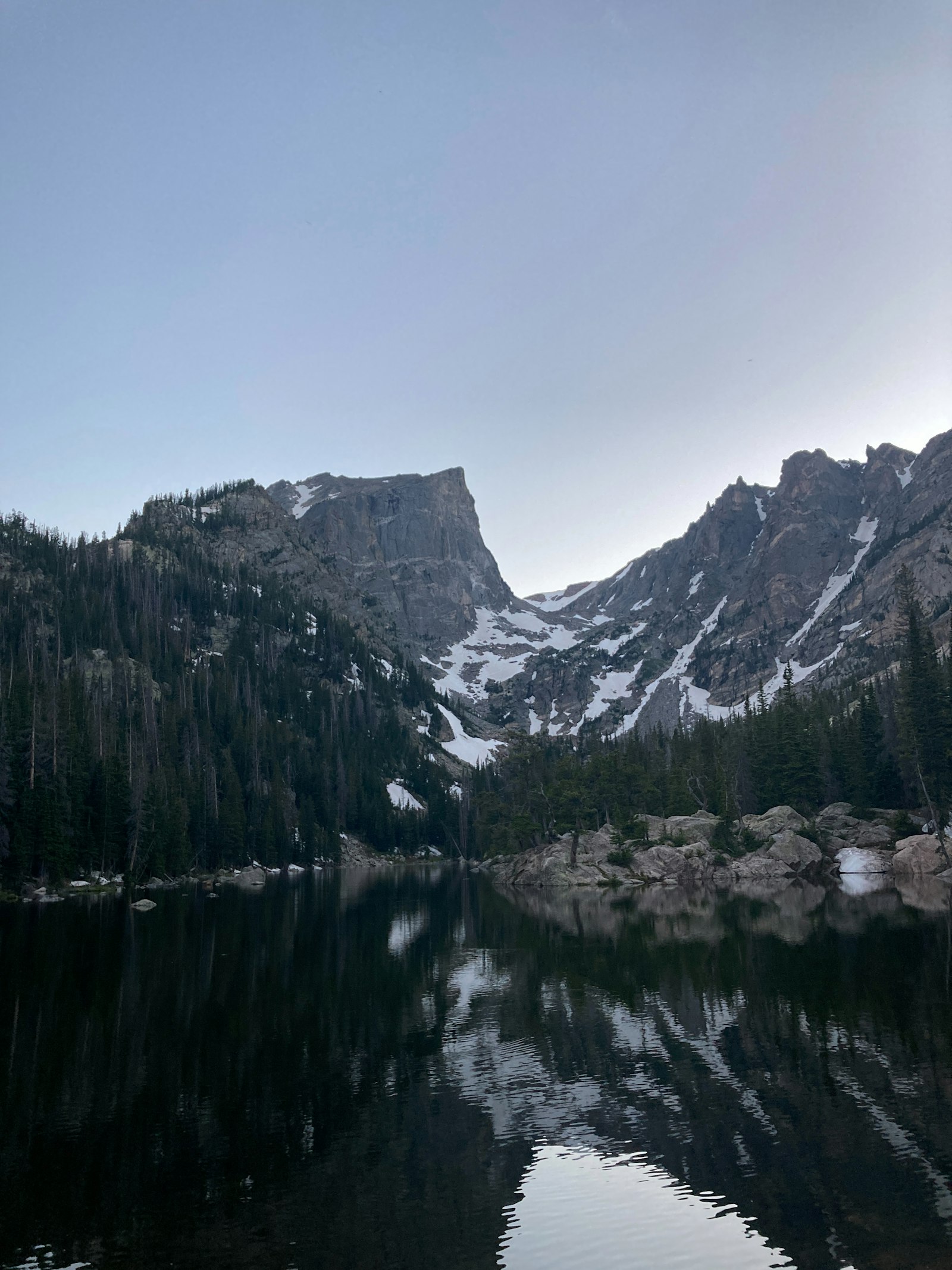
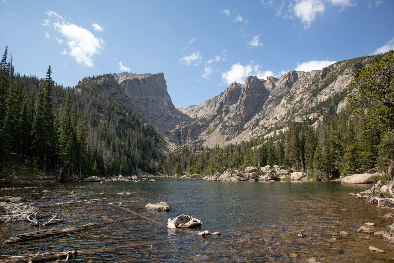
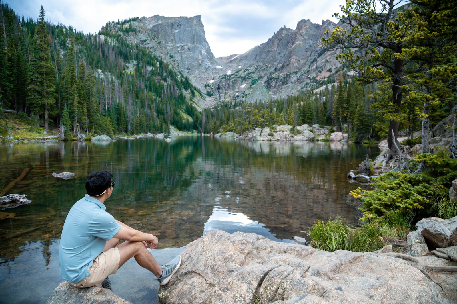
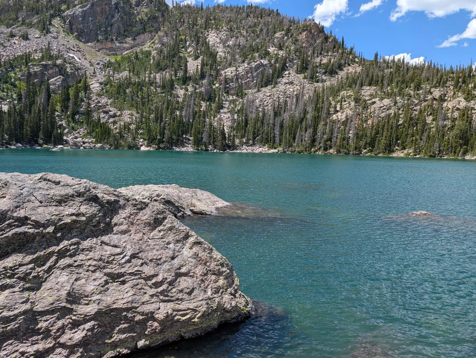
The Bear Lake corridor earns its fame. From the Bear Lake trailhead at 9,475 feet, the flat half-mile loop around Bear Lake itself is the warm-up. The main event is the lake staircase: Nymph Lake with its lily pads at half a mile, Dream Lake at the one-mile mark — Hallett Peak rising straight out of the water, the park's most photographed view — and Emerald Lake at 1.8 miles, walled in by cliffs that hold snow into July. It's 3.6 miles round trip with about 700 feet of gain, and every foot of it is scenery. For solitude on the same trail network, branch left above Nymph Lake to Lake Haiyaha: a 2022 rock slide upstream turned the lake an improbable milky turquoise, and the boulder-field shoreline keeps the crowds thin. Strong hikers should commit to Sky Pond instead — nine miles round trip past Alberta Falls, up the Loch Vale staircase, and through a hands-on scramble beside Timberline Falls to a lake ringed by rock spires. It's the best full-day hike on the east side.
If your legs want easy miles, the corridor still delivers. Sprague Lake, lower on Bear Lake Road, has a flat, wheelchair-friendly half-mile loop with a straight-on view of the Divide that photographers work at sunrise, and Alberta Falls alone — 1.6 miles round trip from the Glacier Gorge trailhead — makes a fine short outing with kids. In summer, ditch the parking stress entirely: the free park shuttle runs from the Park & Ride up Bear Lake Road, and a hiker shuttle connects from the Estes Park Visitor Center.
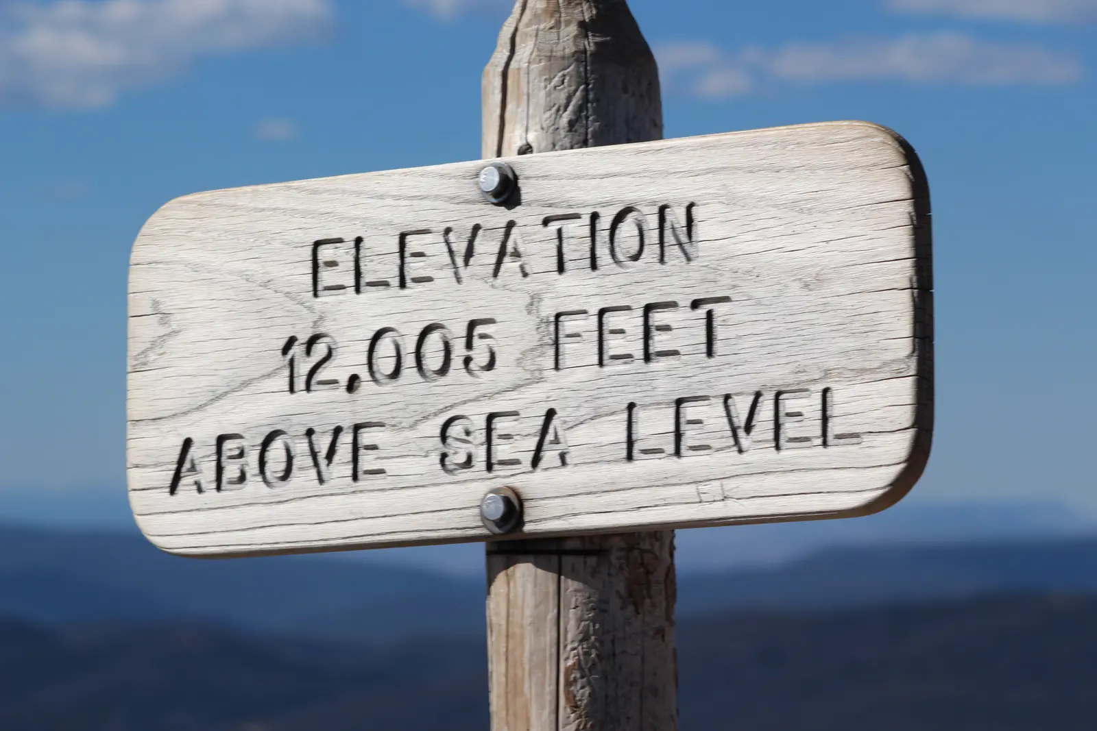
Then cross Trail Ridge Road and meet the other park. Budget a half day for the crossing itself — the road spends eleven miles above treeline, tops out at 12,183 feet, and the tundra pullouts and the Alpine Visitor Center (at 11,796 feet, the highest in the national park system) deserve unhurried stops. From the visitor center parking lot, take the Alpine Ridge Trail — 'Huffer's Hill' to the rangers — up its stone steps to the 12,005-foot summit sign: twenty breathless minutes for a genuine top-of-the-world moment, and the easiest 12,000-footer you'll ever claim. Down the western switchbacks, the Kawuneeche Valley opens up: this is moose country, best at dawn and dusk, and the pace changes completely. The Coyote Valley Trail is an easy, level mile along the infant Colorado River with the Never Summer Mountains stacked behind it. A few minutes north, the Holzwarth Historic Site preserves a 1920s dude ranch at the end of a flat half-mile walk — cabins, wagons, and volunteers with good stories. Neither trail will raise your heart rate; both will fill your camera.
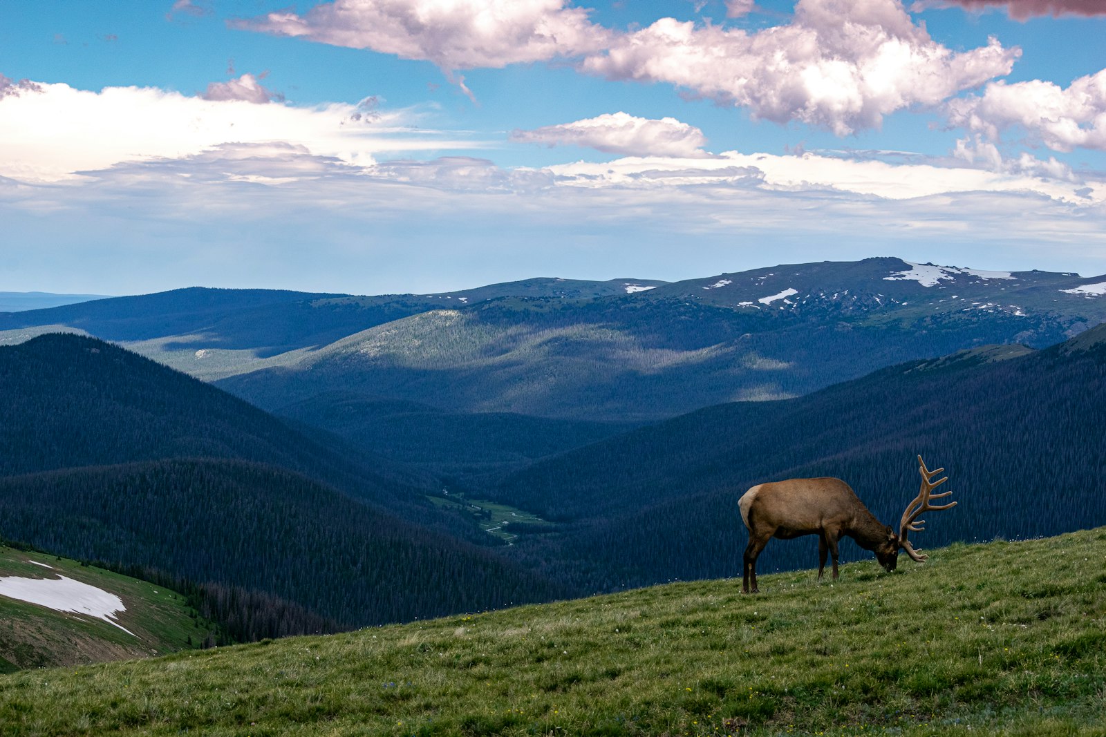
The west side's best hike starts quietly from Grand Lake. From the East Inlet Trailhead at the edge of town, Adams Falls is only 0.6 miles round trip — a churning cascade in a narrow granite chute — but almost everyone turns around there. Keep walking ten more minutes and the trail spills into East Meadow, where the East Inlet stream wanders through open grassland below Mount Baldy and moose browse the willows most evenings. It's the west side in miniature: five minutes past the crowd, you have it to yourself. Back in town, Grand Lake itself — Colorado's largest and deepest natural lake — fronts a boardwalk main street that feels like the 1950s in the best way.
Practical notes: altitude is the real opponent here — sleep a night in Estes Park (7,500 feet) before hiking high, drink more water than feels reasonable, and treat a pounding headache as a sign to descend. Layers beat jackets; a bluebird morning can throw hail by 2pm. June still holds snow on high trails (Sky Pond's scramble can be icy into early July), September brings gold aspens and the elk rut's bugling to both sides of the park, and the quietest good weather is often the first two weeks of October — right up until Trail Ridge Road closes and the two parks go back to being strangers for the winter.
About the author
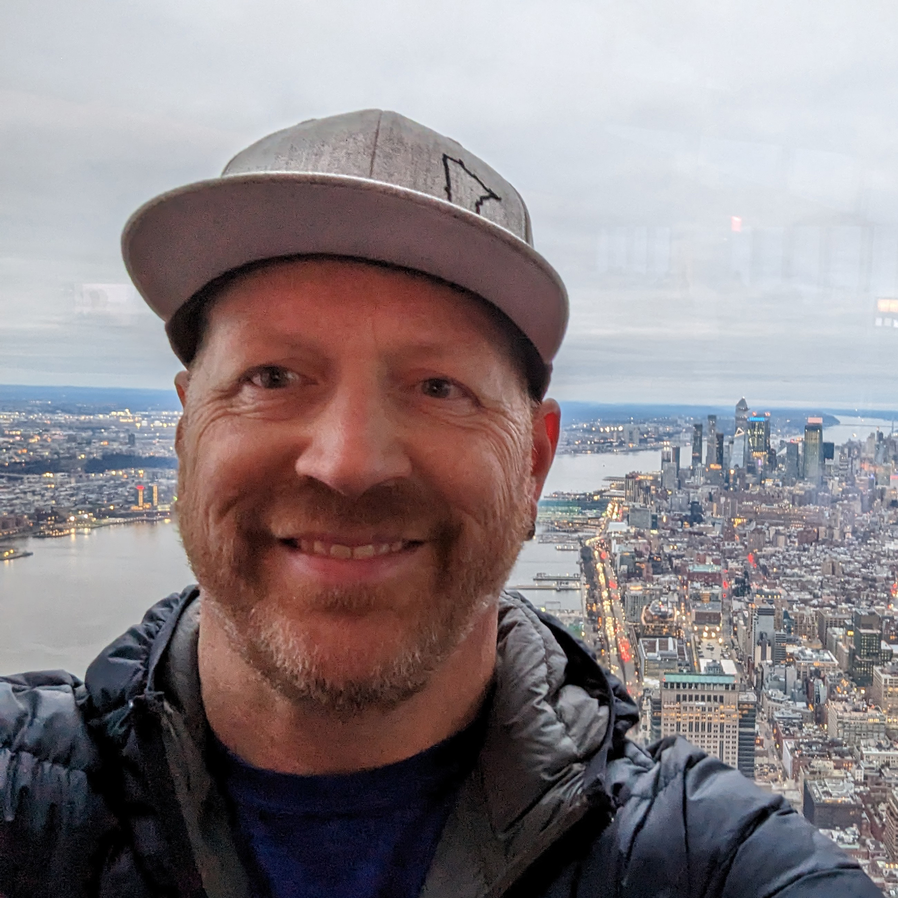
Kristian Ranstrom
I built Get Busy Exploring because I kept losing track of where I'd been. I chase lists — fourteeners, highpoints, Munros — and I'm just as happy getting lost in a city on foot. I write up the trips here: routes, itineraries, and what I'd do differently.