Hiking the Dingle Way: 8-Day Plan, Gear & What to Expect
🗺 View the 18 places in this post on a map
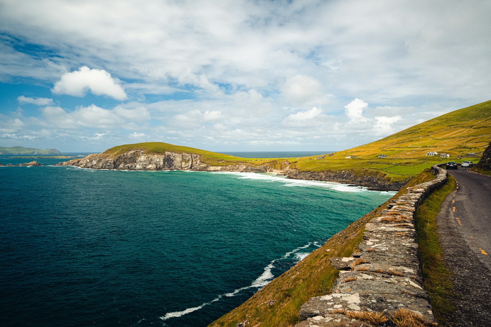
The Dingle Way (Slí Chorca Dhuibhne) is a 179-kilometer loop around the last peninsula in Europe — a week of beach walking, boreen lanes, and one honest mountain shoulder, with a pub dinner and a soft bed at the end of every stage. It starts and ends in Tralee, circles the Dingle Peninsula counterclockwise, and passes more Iron Age and early-Christian ruins than any other Irish trail: beehive huts, ogham stones, a 1,200-year-old dry-stone oratory that still doesn't leak. It's the best introduction to multi-day walking in Ireland because the logistics are easy — villages every few hours, luggage transfer everywhere, and no camping required — while the scenery is as good as anything on the Wild Atlantic Way. Plan eight walking days; fit hikers compress it to six, but you'd be cutting the wrong corners.
Days 1–3: Tralee to Dingle town. Day one is the gentle warm-up: 18 km from Tralee along the ship canal past the Blennerville Windmill — the largest working windmill in Ireland — then along the old Dingle railway line and up onto the flank of the Slieve Mish mountains to the village of Camp. Day two crosses to the peninsula's south coast, 17 km over a saddle and down to Inch Strand, five kilometers of dune-backed sand where Ryan's Daughter was filmed; walk the beach instead of the road if the tide allows. You finish in Annascaul, where the only sensible move is a pint at the South Pole Inn — the pub Antarctic explorer Tom Crean opened when he came home, its walls covered with expedition photographs. Day three, 22 km to Dingle town, detours past Minard Castle, a Fitzgerald tower house sitting above a storm beach of enormous rounded boulders, before dropping into the peninsula's only real town.
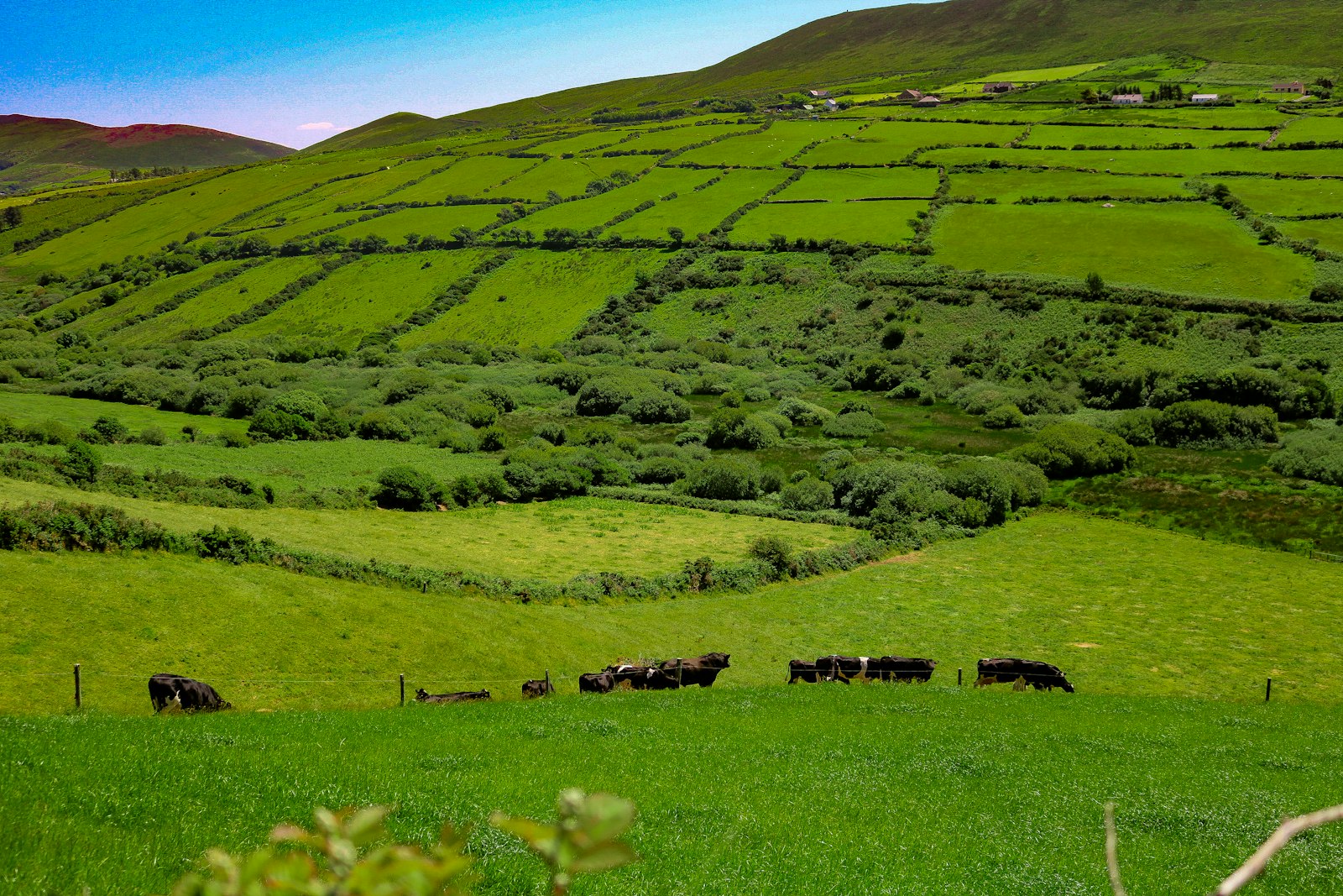
Dingle town is the food stop — plan a rest day. The town has more good kitchens per head than anywhere in rural Ireland. Out of the Blue on the harbor is the one to book: a blue shack that serves only what the boats landed that morning and closes when the fish runs out — no chips, no freezer. Dick Mack's, across from the church, has been half leather shop, half whiskey bar since 1899 and now brews its own beer in the yard out back. And whatever the weather, join the queue at Murphy's Ice Cream, made up the road with Kerry cow milk and sea salt harvested from Dingle Bay. If your schedule allows only one rest day on the whole route, spend it here: hire a bike for the Slea Head loop, or take the boat out to see the harbor.
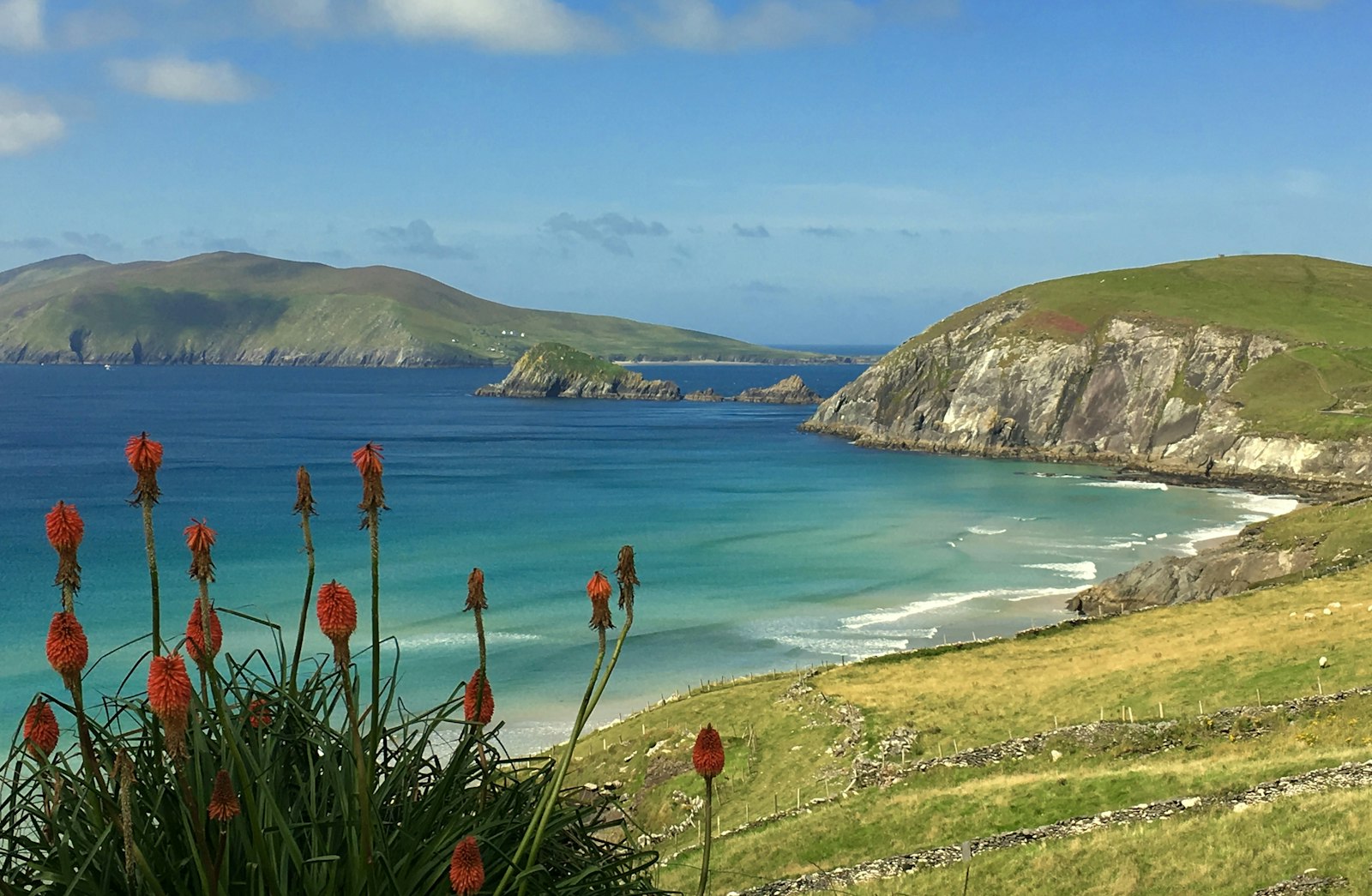
Days 4–5: the far west. These are the days the trail is famous for. From Dingle it's 19 km to Dunquin: down to the long sand of Ventry Harbour, then a contouring path along the seaward slope of Mount Eagle, through the Fahan group of clocháns — drystone beehive huts stacked on the hillside like stone igloos — and around Slea Head itself, where the Blasket Islands fill the horizon and the road below shrinks to a ribbon. Dunquin is tiny; visit the Blasket Centre, look down at the improbable zigzag of Dunquin Pier, and sleep early. Day five rounds Clogher Head to Ballyferriter and on through Smerwick Harbour's beaches to Ballydavid, 20 km of the emptiest coast on the route. Two stops matter: the Gallarus Oratory, the corbel-built stone chapel that has shed Atlantic rain since roughly the 8th century, and — a kilometer off-trail near Ballyferriter — Tigh Bhric, a family-run pub attached to the West Kerry Brewery, the only place you can drink its beers at the source. This is the heart of the Gaeltacht: the Irish you hear at the bar is the local first language, not a performance.
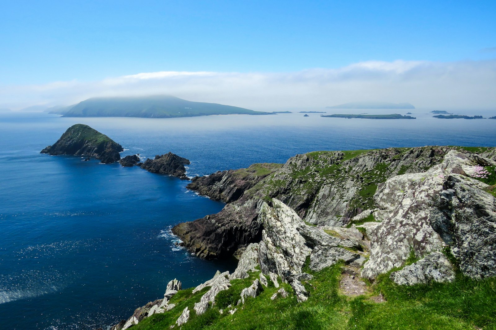
Day 6: over the shoulder of Brandon. The queen stage. From Ballydavid the Way climbs steadily to the saddle at Masatiompan, about 650 meters up on the northern ridge of Mount Brandon — Ireland's highest peak outside the MacGillycuddy's Reeks and an ancient pilgrimage mountain. An ogham stone marks the pass; on a clear day you see the Blaskets behind you and the whole sweep of Brandon Bay ahead. It's the one stage with real weather exposure and no bail-out, so take the forecast seriously, carry food, and be willing to sit a storm out in Ballydavid — B&B hosts are used to it. The 5 km descent to Brandon village and on to Cloghane ends, as ever, at a pub fire.
Days 7–8: the longest beach in Ireland, then home. Day seven out of Cloghane is 29 km, but half of it is on Fermoyle and Brandon Bay's unbroken strand — the longest beach walk in the country, firm sand at low tide with the Brandon ridge over your shoulder — around the Maharees sandspit to Castlegregory, a village with a surf-school economy and good chowder. The final day retraces the north side of the Slieve Mish to Camp and back down the canal into Tralee, 25 km that most walkers shorten by finishing at Camp and taking the bus. Check the tide tables for day seven the night before; high tide pushes you onto soft dunes and adds an hour.
Gear: pack for four seasons, carry for one day. Every stage ends in a village, so with a luggage-transfer service (book it with your accommodation, or through a self-guided operator) you walk with a 20-liter daypack. Non-negotiables: genuinely waterproof jacket and over-trousers — Atlantic squalls arrive sideways and pass in twenty minutes — a warm mid-layer even in July, and a hat and gloves for the Brandon stage. Footwear is debated; the Way is soft underfoot in places (bog, dune, farm track), so waterproof mid boots or Gore-Tex trail runners with gaiters both work, but break them in first and pack blister supplies. Add a dry bag for electronics, a refillable bottle (every pub will fill it), sunscreen you will not believe you need until you do, and cash — some of the smaller B&Bs and the odd shop west of Dingle are still card-shy. Navigation is easy — waymarked yellow-walker posts the whole way — but carry the route offline (OSI sheets 70–71 or any of the trail apps) for the Brandon crossing in mist.
When to go and what it costs. May and June are the prime window: sixteen hours of daylight, wildflowers in the hedges, and the best odds of dry ground on Brandon; September is quieter and still mild. July and August bring crowds to Dingle town but the trail itself stays uncrowded. B&Bs run €50–80 per person with the enormous breakfast included; dinner is pub food nearly everywhere (Kerry lamb, seafood chowder with brown soda bread, and better fish than any inland county deserves). Book accommodation ahead for May–September — the villages are small and beds are finite, which is the polite way of saying Dunquin sells out first. Getting there is simple: train or bus to Tralee, and Bus Éireann's 275 runs the peninsula if you need to skip a stage. Total budget for eight days, walking self-guided with bag transfer: roughly €700–900 per person, and worth every cent of it.