Biking the Twin Cities: Trails That Connect Everything
🗺 View the 15 places in this post on a map
The Twin Cities are the rare American metro where the bicycle is not a workaround but the main event. Minneapolis routinely tops national best-bike-city rankings for a simple reason: more than a hundred miles of paved, car-free trails link the lakes, the Mississippi riverfront, the falls, and both downtowns into one continuous ride, mostly flat and almost never sharing pavement with traffic. This guide skips the museums and follows the trails themselves — because here, the trail network is the attraction, and everything worth seeing happens to be parked along it. Ride season runs roughly May through October (the cities famously plow many trails all winter, but that's a different sport). The old Nice Ride bikeshare is gone; Lime and Veo e-bikes fill the casual gap, and proper rentals are easy from local shops. Two or three days covers the network.
Start with the Chain of Lakes, the prettiest commute in America. The Grand Rounds — Minneapolis's 50-mile ring of parkways and paths — is at its best on the western lakes, where dedicated one-way bike loops circle Lake of the Isles, Bde Maka Ska, and Lake Harriet in a linked chain you can ride in a single unhurried hour. Isles is all mansions and lagoons, Bde Maka Ska is the big, busy one with sailboats and volleyball, and Lake Harriet is the charmer: a fairy-tale bandshell, rose gardens up the hill, and Bread & Pickle, the lakeside kitchen at the pavilion where the line for breakfast sandwiches and cheese curds is part of the Sunday ritual. Watch the signage — bike loops are one-way, and the locals will let you know.
Then take the Midtown Greenway, the bike freeway in a trench. Running 5.5 miles across south Minneapolis in a sunken railroad corridor, the Midtown Greenway is grade-separated from every cross street — no lights, no stop signs, just bridges overhead and a steady stream of commuters who treat it like an interstate. It plugs into the Chain of Lakes at its west end and the Mississippi at its east, which makes it the spine of any crosstown route. Climb out of the trench at Chicago Avenue for the Midtown Global Market, a former Sears warehouse now packed with immigrant-owned food counters — a Salvadoran pupusa or a Manny's torta eaten two minutes off the trail beats any energy bar.
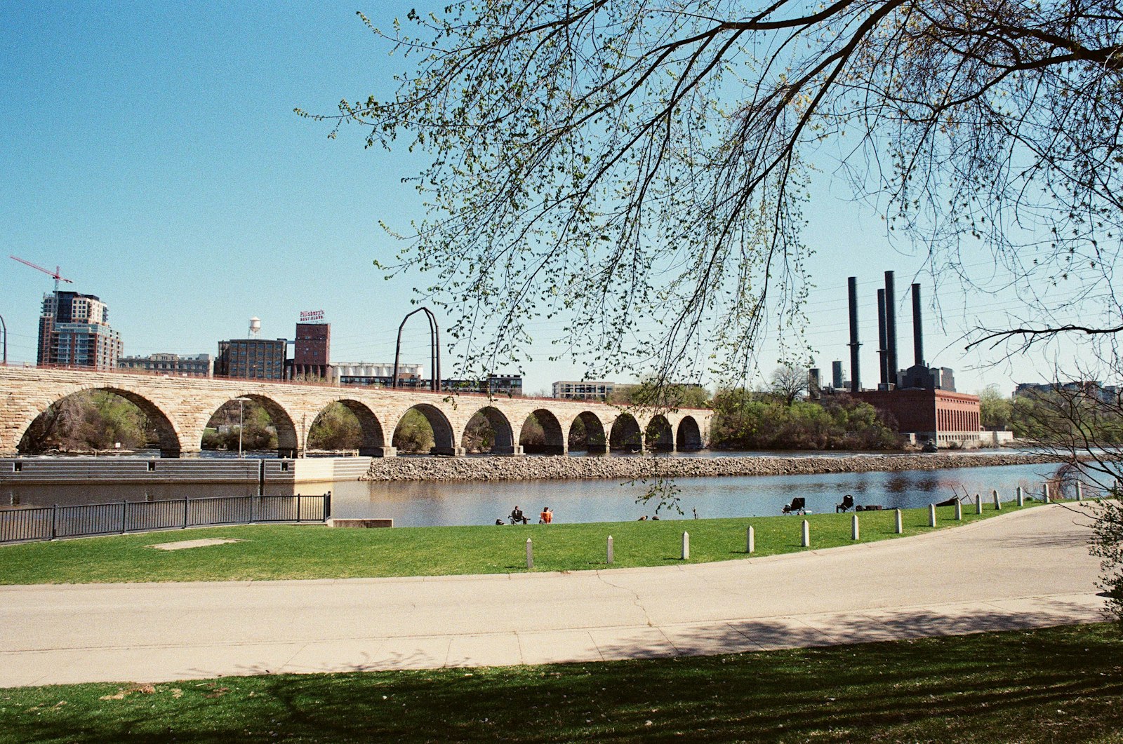
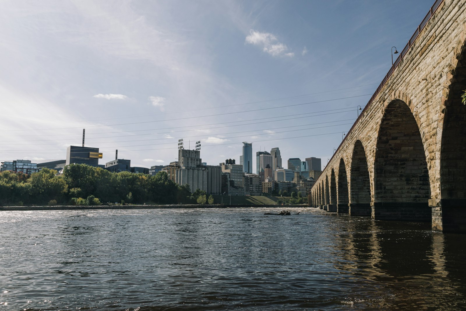
The riverfront is the postcard section. Follow West River Parkway's trail downstream into the old milling district, where the path threads the Mill Ruins and St. Anthony Falls. The centerpiece is the Stone Arch Bridge, the 1883 railroad crossing turned bike-and-pedestrian promenade — and the timing is finally right: after more than a year of its $38.5 million stone-by-stone restoration, it reopens to riders this week (August 9, with a party). Cross it, loop the east bank past the Guthrie's cantilevered bridge views, and if the afternoon allows, follow the Dinkytown Greenway east to Surly Brewing Co., the destination beer hall that sits directly on the trail network — its bike racks are as busy as its parking lot, which tells you everything about this town.
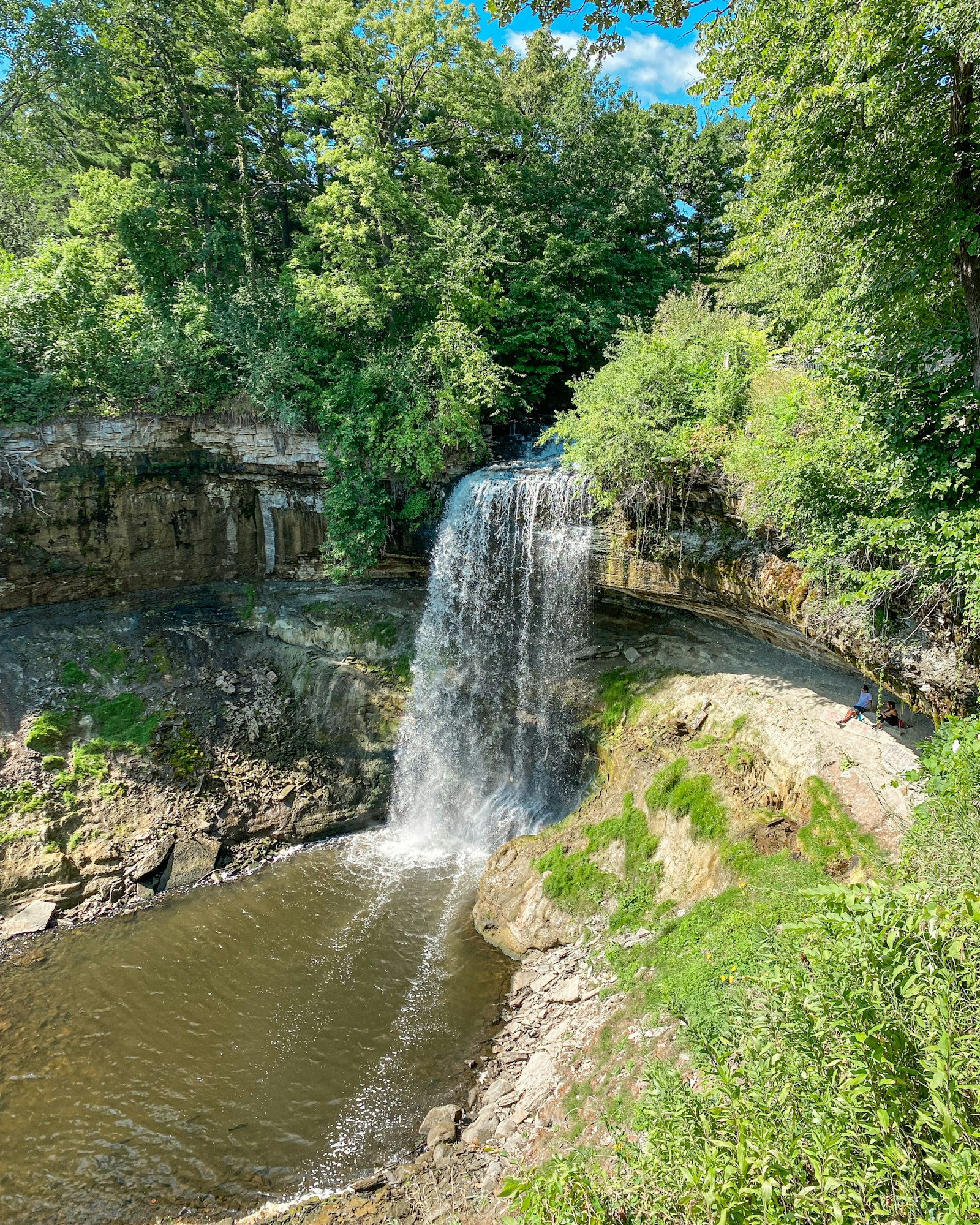
Ride the Minnehaha corridor to the falls. From Lake Harriet, the Minnehaha Parkway trail follows its namesake creek southeast for five green, winding miles to Minnehaha Regional Park, where the creek hurls itself 53 feet over a limestone lip — a genuine waterfall inside city limits, and the park around it fills with picnics all summer. The mandatory refuel is Sea Salt Eatery in the park pavilion, a seasonal, chronically-mobbed-for-good-reason seafood counter doing po'boys, oysters, and local taps a hundred meters from the falls. Two minutes north on 42nd Street, Angry Catfish is the neighborhood's beloved bike-shop-slash-espresso-bar — flat fixed and cortado pulled under one roof, which is the most Minneapolis retail concept imaginable. Below the falls, the trail drops into the wooded river gorge and runs all the way to Fort Snelling State Park, where the creek's water meets the Mississippi.
Cross the river and give St. Paul its due. Over the Ford Parkway bridge, the Mississippi River Boulevard trail runs high along the gorge with the best river views of the ride. Cut inland on Summit Avenue, whose bike lanes roll past four and a half miles of America's best-preserved Victorian mansion row — F. Scott Fitzgerald wrote his first novel at No. 599 — and finish at either of two St. Paul rewards: Como Regional Park, where the lake loop, conservatory, and zoo make the easiest family add-on in the cities, or the Gateway State Trail, the rail-trail that launches from the northern edge of downtown and runs 18 car-free miles into the countryside toward Stillwater. If your legs have one more hour, the Gateway is how Twin Cities riders leave town without ever touching a road.
Practical notes: the network is genuinely flat except the river-gorge dips, so an ordinary hybrid covers everything; e-bikes flatten even those. Lake loops are one-way for bikes and separate from walking paths — stay on your ribbon of asphalt and all is forgiven. Base yourself in Uptown for the lakes and Greenway or Longfellow for the falls and river. June brings peak green, September the best riding temperatures, and October a gold-leaf finale along the parkways. And build in slack: the defining Twin Cities ride isn't a distance goal, it's the unplanned stop — a bandshell concert, a farmers market, a brewery patio — that the trail hands you around the next bend.

About the author
Kristian Ranstrom
I built Get Busy Exploring because I kept losing track of where I'd been. I chase lists — fourteeners, highpoints, Munros — and I'm just as happy getting lost in a city on foot. I write up the trips here: routes, itineraries, and what I'd do differently.