American Samoa: Visiting the Most Remote US National Park
🗺 View the 19 places in this post on a map
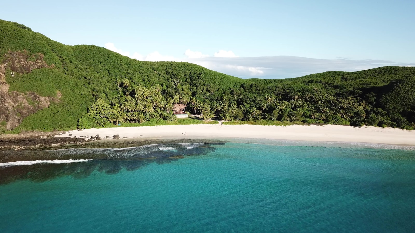
The National Park of American Samoa is the only US national park south of the equator, and by almost any measure the hardest one to reach. It sits 2,600 miles southwest of Honolulu on a scatter of volcanic islands, and it isn't a single place so much as three: rainforest ridges and sea cliffs on Tutuila, the main island; the coral lagoon of Ofu, sixty miles east in the Manu'a group; and the towering south coast of Ta'ū, the group's largest island. The park doesn't own most of its 13,500 acres — the land is leased from the villages under a 50-year agreement — so a visit here means walking through working Samoan villages, asking permission, and slowing down to island time. There's no entrance fee, no shuttle, no lodge, and most weeks fewer visitors than Yellowstone sees in an hour. That's the appeal.
Getting there is the whole adventure. Hawaiian Airlines is the only carrier from the mainland side, flying Honolulu to Pago Pago two or three evenings a week — a five-and-a-half-hour hop that lands after dark. Because the schedule is so thin, a trip is effectively a week long, and that's about the right amount of time. US citizens need a valid passport (or a certified birth certificate) and proof of onward travel; everyone else needs an entry permit arranged in advance, so read the entry requirements before you book. Dollars, US plugs, US postal rates, and cell coverage all work like home. Aim for June through September, the cooler, drier season; October to May is the wet season with real cyclone risk, though the seas are calmer for snorkeling.
Start in Pago Pago and get your bearings. The park's visitor center is on the second floor of the MHJ Building in the heart of town, and it's worth the stop: rangers know current trail conditions, the ladders on the harder hikes, and which villages prefer you check in with a matai (chief) before crossing their land. Base yourself around the harbor. Sadie's by the Sea has its own beach and pool in Utulei, and the Tradewinds Hotel near the airport rents cars, which you'll want — the park's trailheads are well away from town, and while the colorful aiga buses (never more than $2.50 a ride, per the territory's getting around guide) reach Vatia, they stop running around 5 p.m. and barely exist on Sundays. Before you head out, breakfast at DDW Beach Cafe in Utulei Beach Park, open weekdays from 7 a.m., where the harbor and Rainmaker Mountain fill the view and the fishing-boat crews eat.
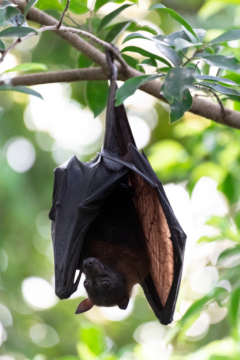
Hike Mount 'Alava for the view every photo of this park is taken from. The classic Mount 'Alava Trail starts at Fagasa Pass, a ten-minute drive west of town, and follows a jungle ridge 3.6 miles to the 1,610-foot summit: about 7.2 miles round trip, with Pago Pago Harbor on one side, the north shore's cliffs on the other, and flying foxes — the park's fruit bats, with wingspans near three feet — gliding across the canopy in daylight. Give it four to five hours and carry three liters of water; the humidity does the real work here. Strong hikers can instead take the Mount 'Alava Adventure Trail up from Vatia, a brutally steep route with 56 ladders and 783 steps, and loop back on the road. Either way, download the park's day hikes brochure before you go; there's no signal on the ridge.
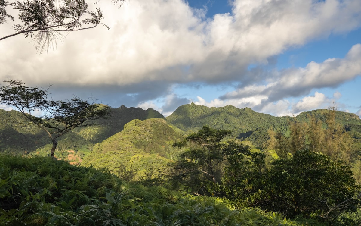
Vatia is the village to spend a whole day around. The road over the pass drops into Vatia, a quiet north-shore village ringed by the park's sea cliffs. Drive to the end of the road for the short, flat Pola Island Trail to a rocky beach facing Pola, a sheer-sided islet locals call the Cockscomb, where boobies and frigatebirds nest. The Lower Sauma Ridge Trail on the east side of the bay is an easy climb to an overlook of Pola and the Vai'ava Strait, past an archaeological site with interpretive signs. And if you have legs left, the Tuafanua Trail just before the village drops down switchbacks, ropes, and ladders to a secluded boulder beach on the outer coast: 2.2 miles round trip, muddy after rain, and usually empty. Ask permission before swimming near the village, and skip it entirely on Sunday.
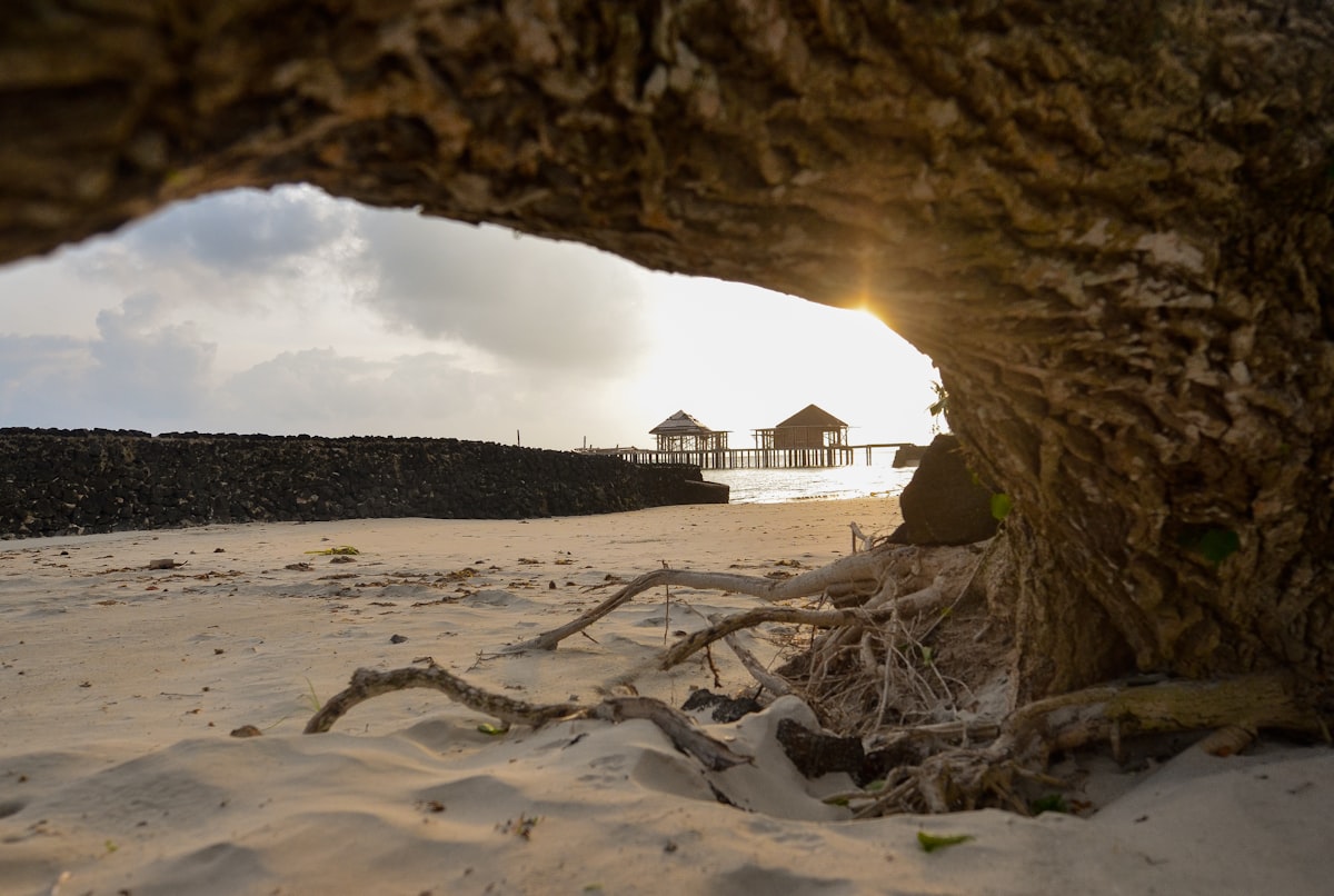
The spots locals actually use are on the east side. The coast road east of Pago Pago is where residents go on Saturday. Tisa's Barefoot Bar in Alega is a driftwood-and-thatch bar on its own protected reef, and its weekly umu feast — pig, taro, and fish cooked in an earth oven, then served at one long table — is the best meal in the territory; book ahead, and consider a night in one of Tisa's beach fales. A mile on, Two Dollar Beach in Avaio (now $5, and closed Sundays) has a sandbar that runs out to a tiny islet at low tide, showers, and the calmest swimming on Tutuila. Back on the south side, the Turtle and Shark lookout at Vaitogi puts you on lava cliffs above blowholes with the legend told on a sign, and Fagatele Bay, the heart of the National Marine Sanctuary of American Samoa, is a drowned volcanic crater with the island's best snorkeling: over 200 coral species in a bay you'll likely have to yourself. The trail down crosses village land, so check in at the sanctuary office in Utulei first.
Ofu is why people who've been everywhere still talk about this park. The Manu'a Islands are a short flight east on Samoa Airways, whose 14-seat Twin Otter has flown direct to Ofu only a couple of days a week in recent years; the alternative is flying to Ta'ū and hiring an alia fishing boat across a channel that gets rough. Book the flight before anything else in your trip, because it sets your dates. Ofu Beach — two miles of white sand backed by volcanic ridges — is the park's south-shore unit, and the lagoon in front of it holds some of the healthiest, most heat-tolerant coral scientists have found anywhere in the Pacific. Snorkel from the middle of the beach, roughly a mile from the airstrip, where the lagoon is widest and the rip current weakest; the park's water recreation page has the safety notes. Vaoto Lodge, steps from the runway and family-run for decades, is the place to stay: simple rooms, a stocked pantry (there are no restaurants on the island), and bikes to borrow for the ride across the one-lane causeway to Olosega.
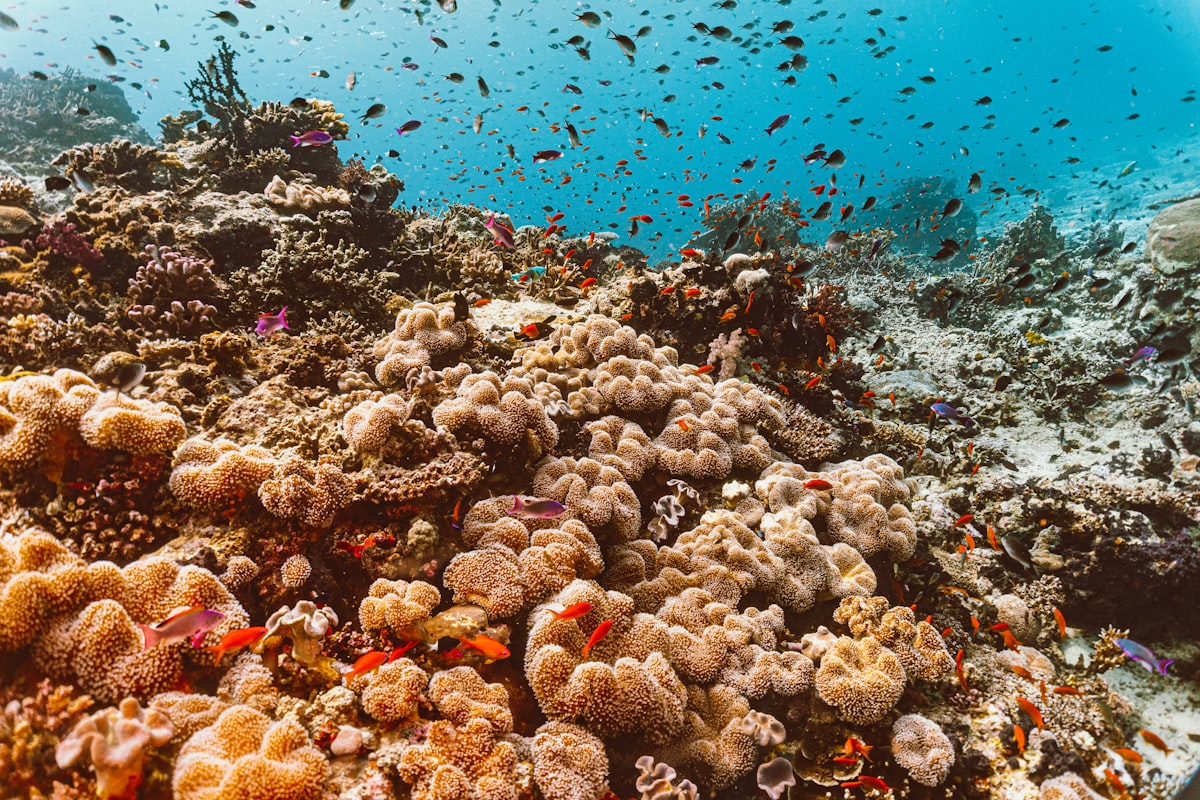
Give Ofu two nights minimum, three if you can, and use one morning for the Tumu Mountain Trail, a 5.5-mile round trip that climbs 1,600 feet from the pier to a lookout over the whole Ofu-Olosega lagoon, the bridge, and Ta'ū on the horizon. Ta'ū itself is worth a day if the flights line up: the Si'u Point Trail runs along the island's wild southeast coast from Fitiuta toward sea cliffs that fall nearly 3,000 feet from the shoulder of Lata Mountain, the highest point in American Samoa. Bring cash for everything in Manu'a, respect the Sunday quiet (no hiking Tumu, no swimming off village beaches), and remember that flights and boats bend to the weather. If the Twin Otter doesn't fly, you're staying another night. In the most remote national park in the country, that's the point.
A one-week plan. Land Monday night; Tuesday, visitor center, Blunts Point's WWII guns above Utulei for a warm-up, and an afternoon at Fagatele Bay. Wednesday, Mount 'Alava from Fagasa Pass, then dinner at Tisa's. Thursday, fly to Ofu; Friday, Ofu Beach and Tumu Mountain; Saturday, fly back, Vatia and Pola Island, and Two Dollar Beach on the way home. Sunday is church, rest, and a quiet drive — exactly as the villages intend it — before the late-night flight back to Honolulu. Check the park's basic information page for the cultural etiquette that matters most: ask before photographing people, don't eat while walking through a village, and pause during the evening sa prayer bell. Do that, and you'll get the warmest welcome of any national park in the system.