🗺 View the 14 places in this post on a map
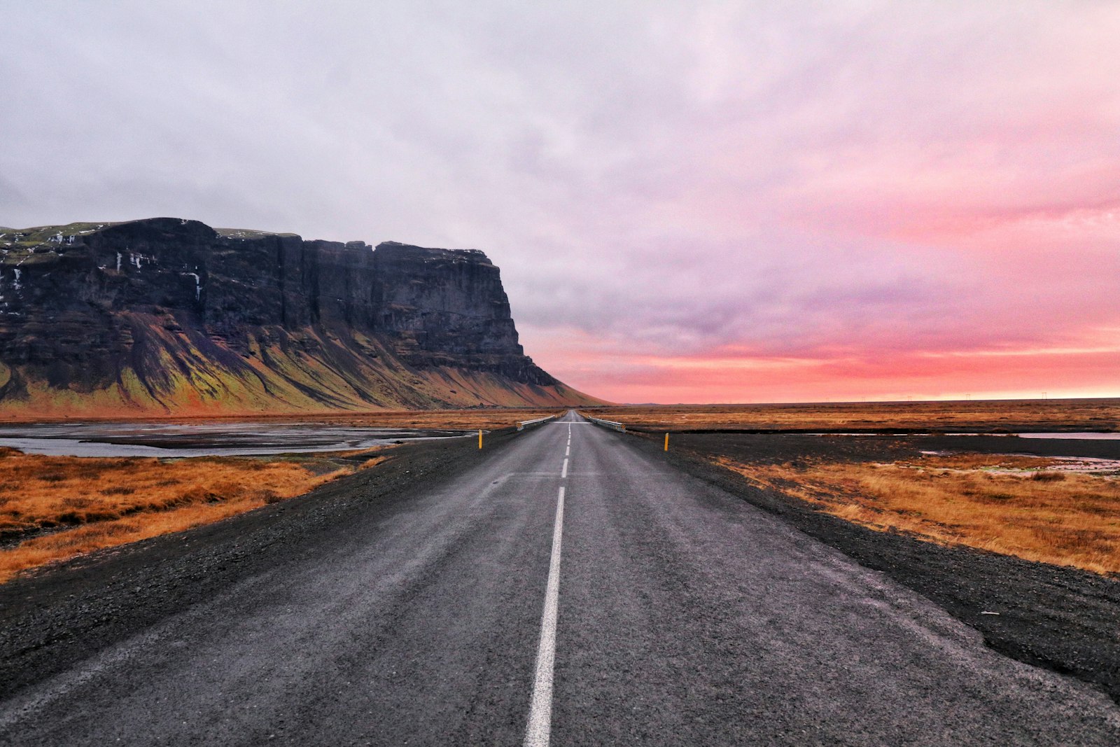
Iceland's Ring Road — Route 1 — is a 1,322-kilometer (821-mile) loop that circles the entire island, threading together waterfalls, glaciers, black sand beaches, lava fields, and fjords with almost suspicious efficiency. Doing it in a camper van is the single best way to see the country: your hotel moves with you, sunset and sunrise happen wherever you parked, and you can linger at the places tour buses give twenty minutes. Seven days is the realistic minimum for the full loop; ten is comfortable. This guide covers a counterclockwise route from Reykjavík, which front-loads the South Coast's biggest sights and saves the quiet north for when the crowds have thinned out.
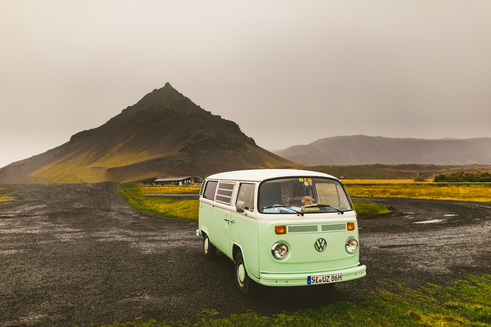
First, the practical stuff. Camper rentals cluster around Keflavík Airport and Reykjavík — book several months ahead for June through August, when small two-person vans commonly run €150–250 per day. A 2WD camper handles the entire paved Ring Road fine in summer; you only need 4x4 if you plan to detour onto the highland F-roads, which are legally off-limits to 2WD vehicles anyway. One rule matters more than any other: wild camping in a vehicle is illegal in Iceland. You must overnight at registered campsites, which are plentiful (nearly every town has one), rarely need reservations outside July weekends, and cost roughly 1,500–2,500 ISK per person. Most have hot showers, cooking shelters, and that essential Icelandic institution: a geothermally heated pool nearby.
Days 1–2: the South Coast. Skip the Golden Circle if time is tight (or give it a quick half day — Þingvellir, Geysir, and Gullfoss are a compact detour) and head straight down Route 1 toward Vík. The hits come fast: Seljalandsfoss, the waterfall you can walk behind (bring a rain shell — you will get soaked); Skógafoss, a 60-meter curtain of water that throws double rainbows on sunny days; and the Sólheimajökull glacier tongue, an easy stop for a guided glacier walk. End at Reynisfjara, the black sand beach with basalt columns and sneaker waves that demand real respect — stay well back from the waterline. The campsite in Vík sits under the cliffs with puffins overhead in summer.
Days 3–4: glaciers and the East Fjords. Cross the eerie Eldhraun lava field to Skaftafell in Vatnajökull National Park, the best base for glacier hikes and the short walk to Svartifoss, a waterfall framed by hexagonal basalt. An hour further east is the trip's showstopper: Jökulsárlón glacier lagoon, where icebergs calved from Europe's largest ice cap drift toward the sea, and Diamond Beach just across the road, where the surf polishes stranded ice into glassy sculptures on black sand. From there the Ring Road bends north through the East Fjords — switchbacking coastal roads, fishing villages like Djúpivogur and Seyðisfjörður, and reindeer on the hillsides. It's the emptiest, slowest stretch of the loop; budget more time than the map suggests.
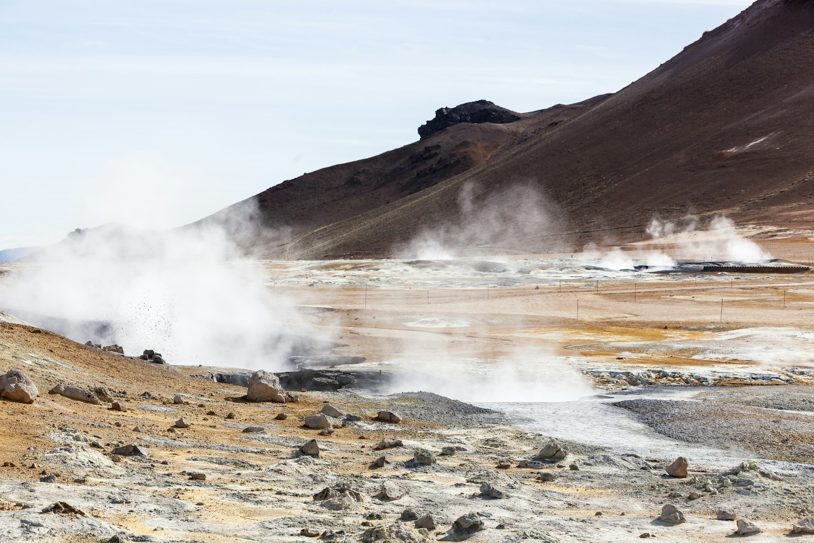
Days 5–6: the volcanic north. The Lake Mývatn area is a geothermal playground: the pseudocraters of Skútustaðir, the lava labyrinth of Dimmuborgir, the steaming vents at Hverir, and the Mývatn Nature Baths — the Blue Lagoon's cheaper, quieter sibling. Detour to Dettifoss, Europe's most powerful waterfall, then continue west past Goðafoss ('waterfall of the gods,' conveniently right beside Route 1) to Akureyri, Iceland's likable second city and the best place on the loop to resupply. With a spare half day, drive out to Húsavík for whale watching — humpback sightings on Skjálfandi Bay are close to guaranteed in summer.
Day 7: back to Reykjavík — or one last detour. The homestretch across the northwest is fast, but if you have an extra day, the Snæfellsnes Peninsula is 'Iceland in miniature': Kirkjufell (the country's most photographed mountain), the sea cliffs at Arnarstapi, and the glacier-capped volcano that inspired Journey to the Center of the Earth. Otherwise, roll back into the capital, return the van, and soak the driving out of your shoulders at a city pool like Sundhöllin.
Driving tips that actually matter. Check road.is and vedur.is every single morning — conditions change violently fast, and summer storms close sections of Route 1 even in July. Wind is the underrated hazard: hold your door firmly when opening it (gusts rip doors off rental campers often enough that it's a standard insurance clause), and slow down on gravel shoulders. Bridges in the east and south are frequently single-lane — the closer vehicle has right of way. Fuel up whenever you see a station once you leave the south; gaps in the east can exceed 100 kilometers. The speed limit is 90 km/h on paved rural roads and speeding fines are enormous.
When to go and what it costs. June through August brings 20+ hours of daylight, all campsites open, and peak prices; September trades a little weather risk for autumn colors, thinner crowds, and a real shot at the northern lights from your campsite. May is a sleeper pick — long days, low rates, lingering snow on the peaks. All in, two people sharing a small camper in shoulder season can do the loop for roughly €1,200–1,800 including fuel, campsites, and groceries — remarkable value for a country this expensive, and one of the great road trips anywhere on Earth.
Photos from the road

About the author
Kristian Ranstrom
I built Get Busy Exploring because I kept losing track of where I'd been. I chase lists — fourteeners, highpoints, Munros — and I'm just as happy getting lost in a city on foot. I write up the trips here: routes, itineraries, and what I'd do differently.